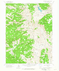
1962 Map of Rattlesnake Reservoir
USGS Topo · Published 1965About this map
Rattlesnake Park and its namesake Rattlesnake Reservoir sit at the center of this mountain landscape during the early 1960s. The area is characterized by a sparse network of mountain homesteads and cattle operations, including the Linger Ranch, Pinewood Ranch, and the X Bar 7 Ranch near the Little Thompson River. Education in this rural pocket of the Roosevelt National Forest was anchored by the Pinewood Sch, while the presence of the Bald Mountain Gate House suggests controlled access to the higher elevations near Bald Mountain.
Find a feature on this map
47 named features on this map. Tap any name to fly to it.
Don’t see what you’re looking for? This feature index may not catch every label — zoom into the map to look around manually.
Map Details
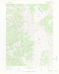
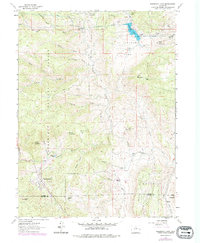
Editions of this 1962 Rattlesnake Reservoir Map
3 editions found
Other maps of this area

1902 · Boulder
USGS Topo · 1:62,500

1904 · Niwot
USGS Topo · 1:62,500

1904 · Boulder
USGS Topo · 1:62,500

1905 · Mount Olympus
USGS Topo · 1:62,500

1906 · Loveland
USGS Topo · 1:62,500

1907 · Mount Olympus
USGS Topo · 1:62,500

1908 · Loveland
USGS Topo · 1:62,500

1950 · Hygiene
USGS Topo · 1:24,000

1954 · Greeley
USGS Topo · 1:250,000

1957 · Greeley
USGS Topo · 1:250,000