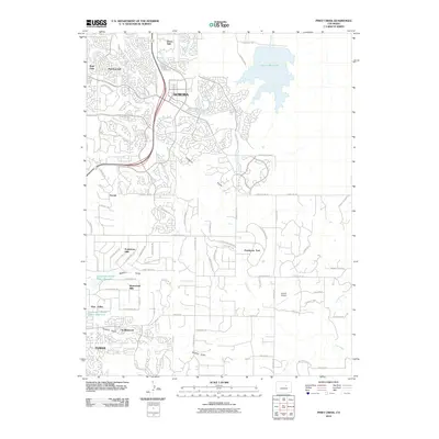
2010 Map of Piney Creek
USGS Topo · Published 2010About this map
Aurora and Parker define the suburban expansion southeast of Denver, where master-planned residential developments meet the remaining open drainages of the High Plains. The landscape is marked by the massive Aurora Reservoir in the northeast and smaller hydrological features like the Franktown Parker FPB-1 Reservoir. These water sources sit amidst a transition from dense neighborhoods like Parkborough and Park View to the more expansive layouts of Ponderosa East.
Find a feature on this map
80 named features on this map. Tap any name to fly to it.
Don’t see what you’re looking for? This feature index may not catch every label — zoom into the map to look around manually.
Map Details
Editions of this 2010 Piney Creek Map
This is the sole edition of this map. No revisions or reprints were ever made.
Other maps of this area

1890 · East Denver
USGS Topo · 1:125,000

1894 · Castle Rock
USGS Topo · 1:125,000

1913 · Castle Rock
USGS Topo · 1:125,000

1935 · East Denver Nos. 3 and 4
USGS Topo · 1:48,000

1939 · Coal Creek
USGS Topo · 1:24,000

1939 · Elizabeth
USGS Topo · 1:62,500

1940 · Piney Creek
USGS Topo · 1:24,000

1940 · Castle Rock
USGS Topo · 1:62,500

1941 · Fitzsimons
USGS Topo · 1:31,680

1942 · Parker
USGS Topo · 1:31,680