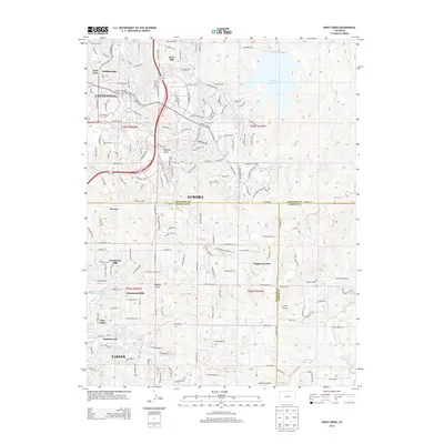
2013 Map of Piney Creek
USGS Topo · Published 2013About this map
Aurora and Parker display the expansive suburban development of the early 21st century along the Colorado Front Range. The landscape is a network of planned residential communities, including Ponderosa Hills, Saddlebrook, and Homestead Hills, interspersed with significant drainage features like Piney Creek and Sulphur Gulch. The northern section is dominated by the Aurora Reservoir, while the presence of the Everitt Airport further south highlights the region's diverse infrastructure. This survey captures a moment of intense urban growth as neighborhoods like Centennial and Parkborough fill the rolling terrain between the Arapahoe, Douglas, and Elbert county lines, reflecting the modern residential shift away from the traditional city core.
Find a feature on this map
162 named features on this map. Tap any name to fly to it.
Don’t see what you’re looking for? This feature index may not catch every label — zoom into the map to look around manually.
Map Details
Editions of this 2013 Piney Creek Map
This is the sole edition of this map. No revisions or reprints were ever made.
Other maps of this area

1890 · East Denver
USGS Topo · 1:125,000

1894 · Castle Rock
USGS Topo · 1:125,000

1913 · Castle Rock
USGS Topo · 1:125,000

1935 · East Denver Nos. 3 and 4
USGS Topo · 1:48,000

1939 · Coal Creek
USGS Topo · 1:24,000

1939 · Elizabeth
USGS Topo · 1:62,500

1940 · Piney Creek
USGS Topo · 1:24,000

1940 · Castle Rock
USGS Topo · 1:62,500

1941 · Fitzsimons
USGS Topo · 1:31,680

1942 · Parker
USGS Topo · 1:31,680