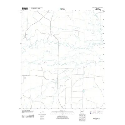
2011 Map of Piney Grove
USGS Topo · Published 2011About this map
The Little Missouri River meanders across this corner of Pike County, creating a complex network of wetlands and tributaries including Number One Bayou and Howard Creek. This 2011 survey documents the rural character of the region, anchored by the settlements of Piney Grove and Bowen. The landscape is defined by its water, from the Antoine River on the eastern edge to the quiet waters of Suckles Lake further south. For those exploring local history or genealogy, the map provides precise locations for long-standing community landmarks like Ebenezer Cemetery and Elizabeth Cemetery. The dense grid of rural routes, including Hendrix Farm Rd S and various county roads, connects scattered homesteads across the drainage basins of Buffalo Creek and Middle Creek, illustrating the persistent agricultural and timber patterns of southwest Arkansas.
Find a feature on this map
55 named features on this map. Tap any name to fly to it.
Don’t see what you’re looking for? This feature index may not catch every label — zoom into the map to look around manually.
Map Details
Editions of this 2011 Piney Grove Map
This is the sole edition of this map. No revisions or reprints were ever made.
Other maps of this area

1901 · Gurdon
USGS Topo · 1:125,000

1906 · Caddo Gap
USGS Topo · 1:125,000

1943 · Antoine
USGS Topo · 1:62,500

1951 · Blevins
USGS Topo · 1:24,000

1951 · Pisgah
USGS Topo · 1:24,000

1953 · El Dorado
USGS Topo · 1:250,000

1955 · Little Rock
USGS Topo · 1:250,000

1956 · Little Rock
USGS Topo · 1:250,000

1957 · El Dorado
USGS Topo · 1:250,000

1958 · El Dorado
USGS Topo · 1:250,000