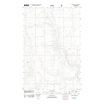
2011 Map of Pingree SW
USGS Topo · Published 2011About this map
Pipestem Creek meanders through this portion of Stutsman County, carving a distinct valley through the prairie landscape of North Dakota. The creek is the primary geographic feature of the area, winding past a series of ephemeral potholes and glacial depressions characteristic of the region. Near the western edge of this survey lies Frederick Dam, a point of local water management that marks a significant landmark in an otherwise largely agricultural and open terrain.
Find a feature on this map
15 named features on this map. Tap any name to fly to it.
Don’t see what you’re looking for? This feature index may not catch every label — zoom into the map to look around manually.
Map Details
Editions of this 2011 Pingree SW Map
This is the sole edition of this map. No revisions or reprints were ever made.
Other maps of this area

1896 · Jamestown
USGS Topo · 1:125,000

1900 · Pingree
USGS Topo · 1:125,000

1900 · Pingree
USGS Topo · 1:62,500

1950 · Buchanan
USGS Topo · 1:24,000

1951 · Pingree
USGS Topo · 1:24,000

1951 · Eldridge NW
USGS Topo · 1:24,000

1952 · Buchanan
USGS Topo · 1:24,000

1952 · Eldridge
USGS Topo · 1:24,000

1952 · Jim Lake
USGS Topo · 1:24,000

1952 · Pingree SW
USGS Topo · 1:24,000