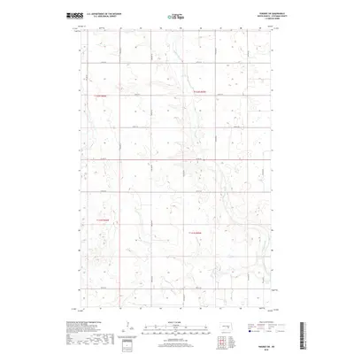
2018 Map of Pingree SW
USGS Topo · Published 2018About this map
Pipestem Cr meanders southward through the prairie landscape of Stutsman County, cutting through the sections of T142N and T141N. This glacial till plain is defined by its characteristic drainage patterns and numerous small wetlands, with Pipestem Creek eventually widening into Pipestem Lake at the southeastern edge of the map. The landscape is structured by a rigid section-line road grid, including Co Hwy 42 and various local routes like 74th Ave Se and 25th St Se. The map reflects a modern rural environment where the Jeffersonian survey system dictates the movement of people and commerce across the North Dakota plains. The detailed topography illustrates the subtle elevation changes of the Coteau du Missouri region, where water naturally collects in low-lying basins between the surveyed corridors.
Find a feature on this map
20 named features on this map. Tap any name to fly to it.
Don’t see what you’re looking for? This feature index may not catch every label — zoom into the map to look around manually.
Map Details
Editions of this 2018 Pingree SW Map
This is the sole edition of this map. No revisions or reprints were ever made.
Other maps of this area

1896 · Jamestown
USGS Topo · 1:125,000

1900 · Pingree
USGS Topo · 1:125,000

1900 · Pingree
USGS Topo · 1:62,500

1950 · Buchanan
USGS Topo · 1:24,000

1951 · Pingree
USGS Topo · 1:24,000

1951 · Eldridge NW
USGS Topo · 1:24,000

1952 · Buchanan
USGS Topo · 1:24,000

1952 · Eldridge
USGS Topo · 1:24,000

1952 · Jim Lake
USGS Topo · 1:24,000

1952 · Pingree SW
USGS Topo · 1:24,000