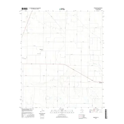
2016 Map of Pinkerton
USGS Topo · Published 2016About this map
Pinkerton stands as a quiet focus in the western reaches of this North Texas landscape, characterized by a grid of county roads that define the region's agricultural layout. Just to the south, the Pinkerton Cem and Rule Cem provide specific points of interest for genealogists tracing family roots in Haskell County. The terrain is marked by the branching paths of Rice Springs Br and Mule Cr, which drain toward the south where Bitter Lake sits as a notable local landmark.
Find a feature on this map
43 named features on this map. Tap any name to fly to it.
Don’t see what you’re looking for? This feature index may not catch every label — zoom into the map to look around manually.
Map Details
Editions of this 2016 Pinkerton Map
This is the sole edition of this map. No revisions or reprints were ever made.
Other maps of this area

1925 · Haskell 3-b
USGS Topo · 1:48,000

1954 · Wichita Falls
USGS Topo · 1:250,000

1958 · Wichita Falls
USGS Topo · 1:250,000

1964 · Sagerton
USGS Topo · 1:24,000

1965 · Jud
USGS Topo · 1:24,000

1966 · Haskell
USGS Topo · 1:24,000
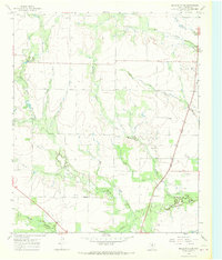
1966 · Dudleys Creek
USGS Topo · 1:24,000
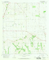
1966 · Pinkerton
USGS Topo · 1:24,000
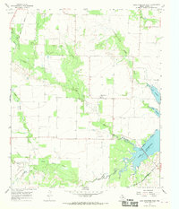
1966 · Lake Stamford West
USGS Topo · 1:24,000

1967 · Rochester
USGS Topo · 1:24,000