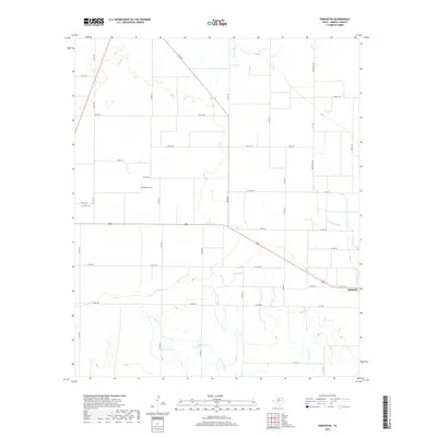
2019 Map of Pinkerton
USGS Topo · Published 2019About this map
Pinkerton Cem and Rule Cem stand as quiet sentinels in this rural Haskell County landscape, offering vital anchor points for genealogical research in north-central Texas. The terrain is defined by the winding drainage of Mule Creek and North Mule Creek, which converge as they flow toward the southeastern corner of the quadrangle. These seasonal watercourses, along with Rice Springs Branch, dictate the positioning of local county roads that grid the agricultural fields.
Find a feature on this map
42 named features on this map. Tap any name to fly to it.
Don’t see what you’re looking for? This feature index may not catch every label — zoom into the map to look around manually.
Map Details
Editions of this 2019 Pinkerton Map
This is the sole edition of this map. No revisions or reprints were ever made.
Other maps of this area

1925 · Haskell 3-b
USGS Topo · 1:48,000

1954 · Wichita Falls
USGS Topo · 1:250,000

1958 · Wichita Falls
USGS Topo · 1:250,000

1964 · Sagerton
USGS Topo · 1:24,000

1965 · Jud
USGS Topo · 1:24,000

1966 · Haskell
USGS Topo · 1:24,000
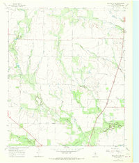
1966 · Dudleys Creek
USGS Topo · 1:24,000
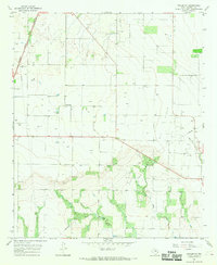
1966 · Pinkerton
USGS Topo · 1:24,000
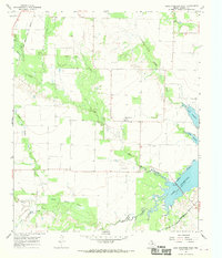
1966 · Lake Stamford West
USGS Topo · 1:24,000

1967 · Rochester
USGS Topo · 1:24,000