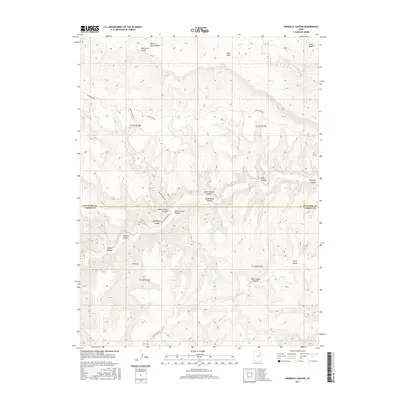
2017 Map of Pinnacle Canyon
USGS Topo · Published 2017About this map
Bad Land Cliffs dominate the northern landscape of this region, dropping into a complex network of deep drainages along the Duchesne and Carbon County line. The terrain is defined by its vertical relief, where high plateau surfaces like Horse Bench give way to the intricate carved paths of Ninemile Canyon and Pinnacle Canyon. Water management and natural drainage patterns are traced through Nine Mile Creek and Desert Spring Wash, which serve as the primary conduits through this arid environment. Transportation follows the natural contours of the land, with Nine Mile Canyon Road and Franks Canyon Road providing the only reliable access between the steep canyon walls. This survey captures the isolated character of the Utah backcountry, highlighting landmarks such as the Pinnacle and the secluded Rock House Canyon.
Find a feature on this map
26 named features on this map. Tap any name to fly to it.
Don’t see what you’re looking for? This feature index may not catch every label — zoom into the map to look around manually.
Map Details
Editions of this 2017 Pinnacle Canyon Map
This is the sole edition of this map. No revisions or reprints were ever made.
Other maps of this area

1885 · East Tavaputs
USGS Topo · 1:250,000

1886 · Price River
USGS Topo · 1:250,000

1896 · Price River
USGS Topo · 1:250,000

1953 · Nutters Hole
USGS Topo · 1:62,500

1953 · Firewater Canyon
USGS Topo · 1:62,500

1954 · Flat Canyon
USGS Topo · 1:62,500

1956 · Price
USGS Topo · 1:250,000

1956 · Grand Junction
USGS Topo · 1:250,000

1959 · Grand Junction
USGS Topo · 1:250,000

1960 · Price
USGS Topo · 1:250,000