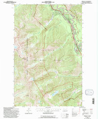
1994 Map of Pinnacle
USGS Topo · Published 1997About this map
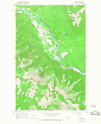
Glacier National Park and the Great Bear Wilderness meet along the dramatic corridor of the Middle Fork Flathead River in this mid-1990s survey. The landscape is defined by the steep transition from the river valley to high alpine features like Grant Glacier and Mount Liebig. The Burlington Northern railroad winds through the narrow Flathead Canyon, crossing Theodore Roosevelt Pass near the small settlement of Pinnacle. This area reflects a wilderness-focused geography where recreational infrastructure, such as the Paola Creek Boat Launch and Kunns Fishing Access, provides the primary human footprint. Inland from the river, the terrain rises sharply to Grant Ridge and Paola Ridge, sheltering remote water bodies like Marion Lake and Dickey Lake within the Flathead National Forest.
Find a feature on this map
42 named features on this map. Tap any name to fly to it.
Don’t see what you’re looking for? This feature index may not catch every label — zoom into the map to look around manually.
Map Details
Editions of this 1994 Pinnacle Map
This is the sole edition of this map. No revisions or reprints were ever made.
Other maps of this area

1914 · Nyack
USGS Topo · 1:125,000
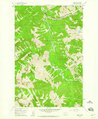
1958 · Nimrod
USGS Topo · 1:24,000
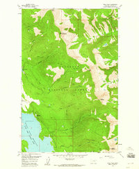
1958 · Felix Peak
USGS Topo · 1:24,000

1960 · Cut Bank
USGS Topo · 1:250,000

1963 · Cut Bank
USGS Topo · 1:250,000

1964 · Cut Bank
USGS Topo · 1:250,000
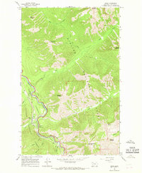
1964 · Essex
USGS Topo · 1:24,000
1964 · Nyack
USGS Topo · 1:24,000
1964 · Pinnacle
USGS Topo · 1:24,000
1964 · Stanton Lake
USGS Topo · 1:24,000