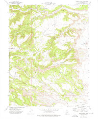
1972 Map of Pinnacle Peak
USGS Topo · Published 1976About this map
The Utah Railway corridor defines this industrial and high-desert landscape in Carbon County, where the rails transition from the flats into the steep canyons of the Wasatch Plateau. The 1970s infrastructure is clearly visible through the presence of Wattis Junction and Wattis Siding, critical points for the regional coal-hauling economy. The topography is dominated by expansive plateaus like Porphyry Bench and Horse Bench, which rise above deep drainages such as Gordon Creek and Serviceberry Creek. An Old Railroad Grade near Miller Creek suggests shifting transport patterns in the southern portion of the quadrangle. The map also records early industrial exploration with a Drill Hole in Haley Canyon, while prominent landmarks like Pinnacle Peak provide visual orientation for the network of jeep trails crossing The Cove.
Find a feature on this map
27 named features on this map. Tap any name to fly to it.
Don’t see what you’re looking for? This feature index may not catch every label — zoom into the map to look around manually.
Map Details
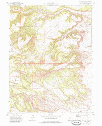
Editions of this 1972 Pinnacle Peak Map
2 editions found
Other maps of this area

1885 · Manti
USGS Topo · 1:250,000

1886 · Price River
USGS Topo · 1:250,000

1895 · Manti
USGS Topo · 1:250,000

1896 · Price River
USGS Topo · 1:250,000

1914 · Castle Gate
USGS Topo · 1:62,500

1916 · Castle Gate
USGS Topo · 1:62,500

1923 · Scofield
USGS Topo · 1:62,500

1923 · Hiawatha
USGS Topo · 1:62,500

1925 · Scofield
USGS Topo · 1:62,500

1925 · Hiawatha
USGS Topo · 1:62,500