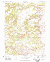
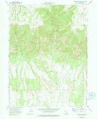
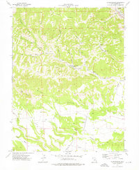
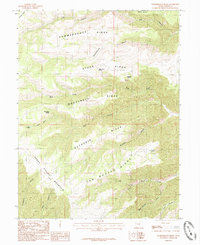
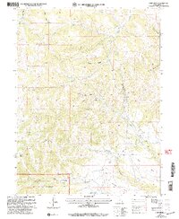
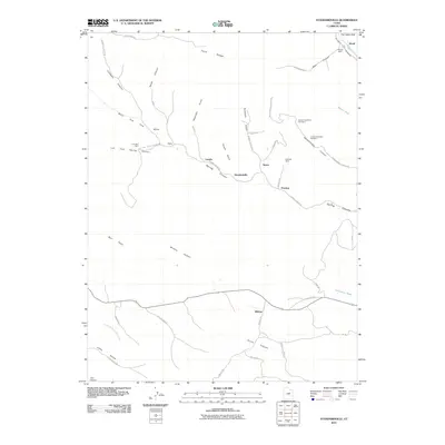
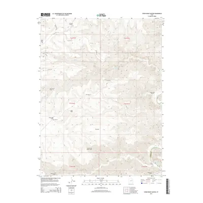
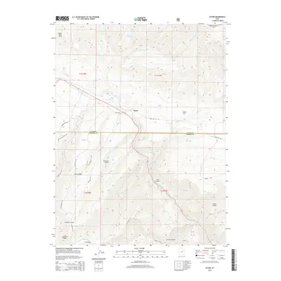
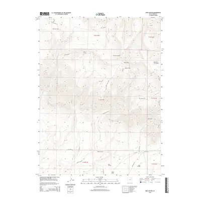
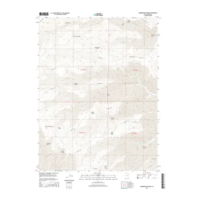
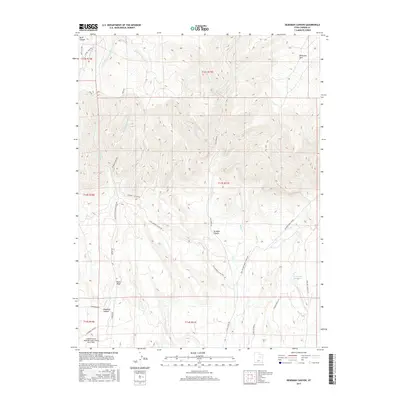
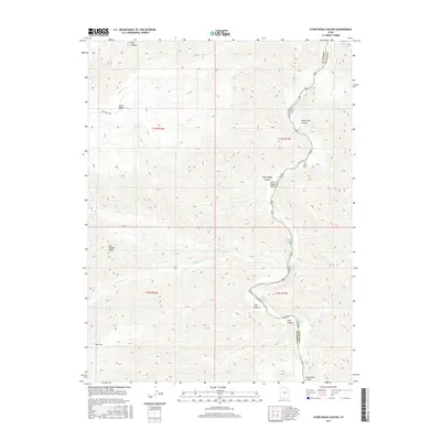
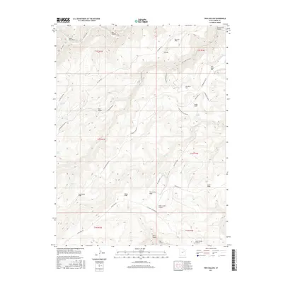
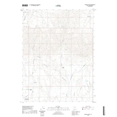
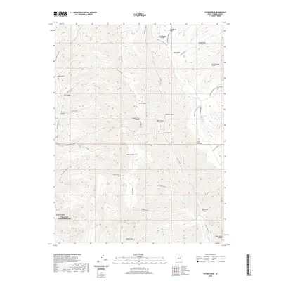
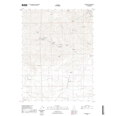
1972 Map of Pinnacle Peak
USGS Topo · Published 1985About this map
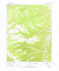
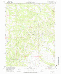
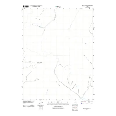
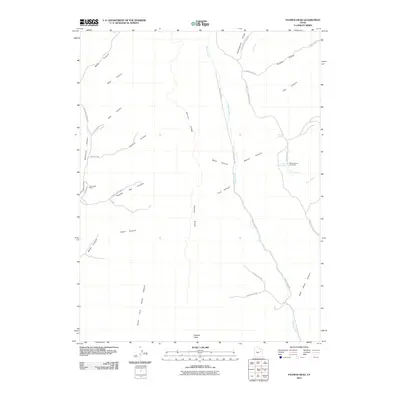
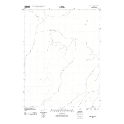
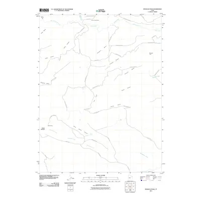
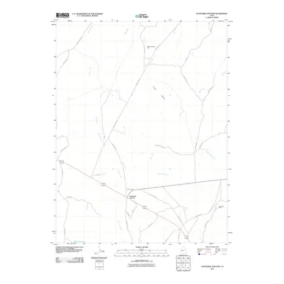
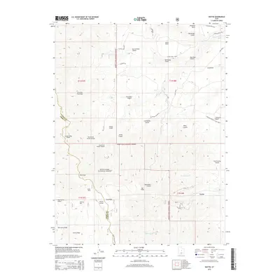
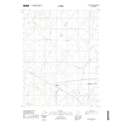
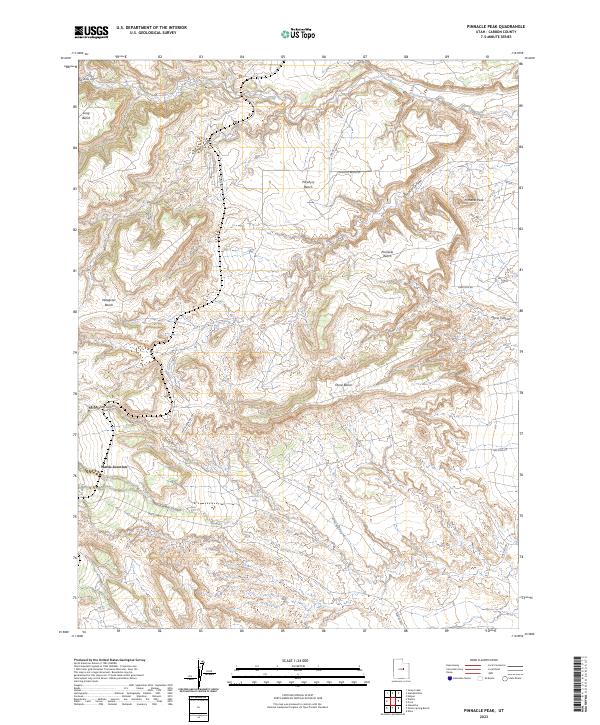
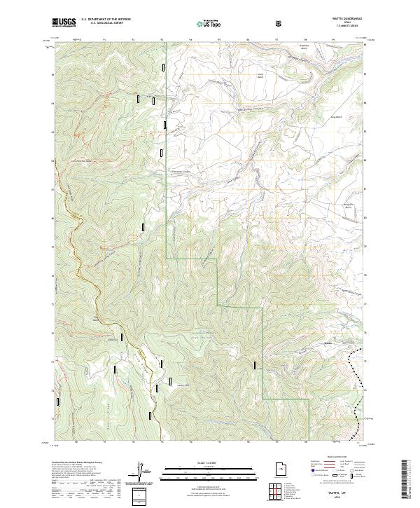
The industrial and high-desert landscape of Carbon County is defined here by the steep ravines and flat-topped mesas of the Book Cliffs region. The Utah Railway serves as a primary corridor through the terrain, with industrial infrastructure centered around Wattis Siding and Wattis Junction. These transit points reflect the area's historical reliance on mineral extraction and transport, where rail lines navigate the challenging elevations between Porphyry Bench and the lower Serviceberry Creek valley. Numerous jeep trails and an old Railroad Grade spider across the benches, indicating a history of exploration and access into more remote areas like The Cove and Horse Canyon. From the prominent summit of Pinnacle Peak to the various named washes, the map reveals a complex network of geological formations and the logistical efforts required to move resources through this corner of the state.
Find a feature on this map
28 named features on this map. Tap any name to fly to it.
Don’t see what you’re looking for? This feature index may not catch every label — zoom into the map to look around manually.
Map Details
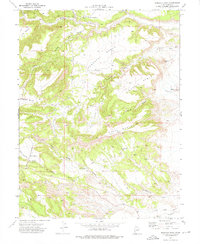
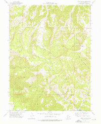
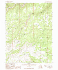
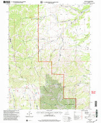
Editions of this 1972 Pinnacle Peak Map
2 editions found
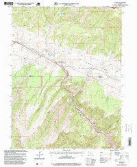
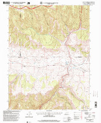
Historical Maps of Wattis Junction Through Time
116 maps found

1914 Castle Gate
Carbon County, UT
1915 Sunnyside
Carbon County, UT
1916 Castle Gate
Carbon County, UT
1954 Flat Canyon
Carbon County, UT
1969 Kyune
Carbon County, UT
1969 Matts Summit
Carbon County, UT
1972 Bruin Point
Carbon County, UT
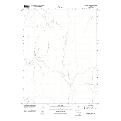
1972 Deadman Canyon
Carbon County, UT
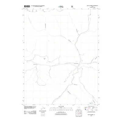
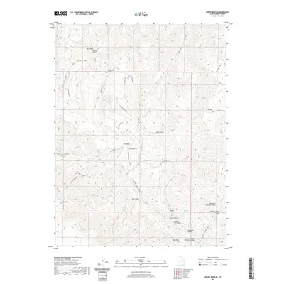
1972 Mount Bartles
Carbon County, UT
1972 Patmos Head
Carbon County, UT
1972 Pine Canyon
Carbon County, UT
1972 Pinnacle Peak
Carbon County, UT
1972 Standardville
Carbon County, UT
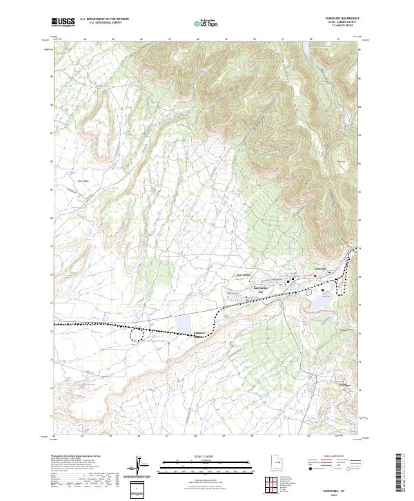
1972 Sunnyside
Carbon County, UT
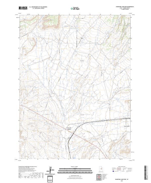
1972 Sunnyside Junction
Carbon County, UT
1979 Colton
Carbon County, UT
1979 Jump Creek
Carbon County, UT
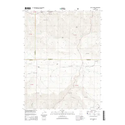
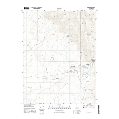
1979 Wattis
Carbon County, UT
1985 Cedar Ridge Canyon
Carbon County, UT
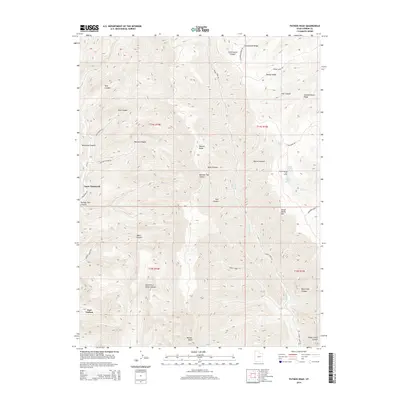
1985 Steer Ridge Canyon
Carbon County, UT
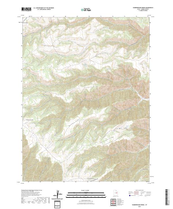
1985 Summerhouse Ridge
Carbon County, UT
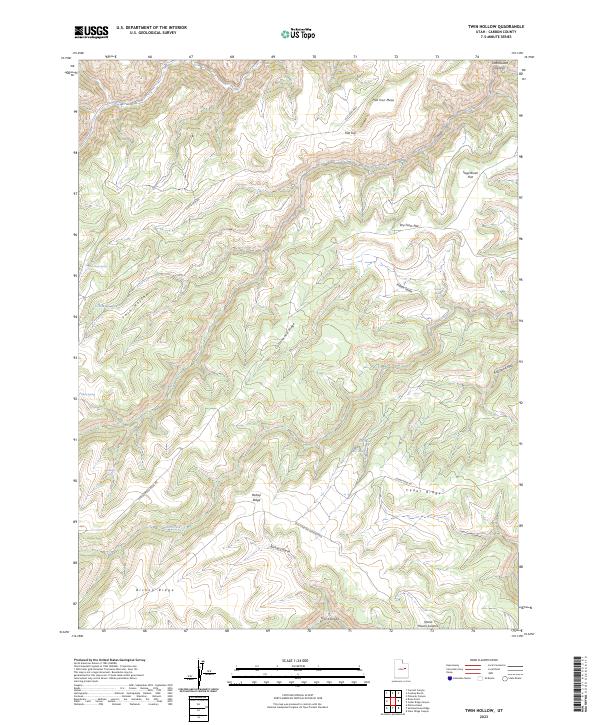
1985 Twin Hollow
Carbon County, UT
1996 Kyune
Carbon County, UT
1996 Matts Summit
Carbon County, UT
2001 Jump Creek
Carbon County, UT
2001 Wattis
Carbon County, UT
2011 Bruin Point
Carbon County, UT

2011 Cedar Ridge Canyon
Carbon County, UT
2011 Colton
Carbon County, UT
2011 Deadman Canyon
Carbon County, UT
2011 Jump Creek
Carbon County, UT
2011 Kyune
Carbon County, UT
2011 Matts Summit
Carbon County, UT
2011 Mount Bartles
Carbon County, UT
2011 Patmos Head
Carbon County, UT
2011 Pine Canyon
Carbon County, UT
2011 Pinnacle Peak
Carbon County, UT
2011 Standardville
Carbon County, UT
2011 Steer Ridge Canyon
Carbon County, UT
2011 Summerhouse Ridge
Carbon County, UT
2011 Sunnyside
Carbon County, UT
2011 Sunnyside Junction
Carbon County, UT
2011 Twin Hollow
Carbon County, UT
2011 Wattis
Carbon County, UT
2014 Bruin Point
Carbon County, UT
2014 Cedar Ridge Canyon
Carbon County, UT
2014 Colton
Carbon County, UT
2014 Deadman Canyon
Carbon County, UT
2014 Jump Creek
Carbon County, UT
2014 Kyune
Carbon County, UT
2014 Matts Summit
Carbon County, UT
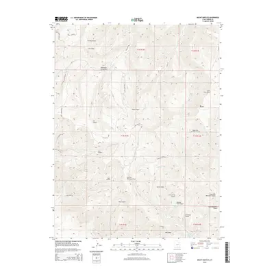
2014 Mount Bartles
Carbon County, UT
2014 Patmos Head
Carbon County, UT
2014 Pine Canyon
Carbon County, UT
2014 Pinnacle Peak
Carbon County, UT
2014 Standardville
Carbon County, UT
2014 Steer Ridge Canyon
Carbon County, UT
2014 Summerhouse Ridge
Carbon County, UT
2014 Sunnyside
Carbon County, UT
2014 Sunnyside Junction
Carbon County, UT
2014 Twin Hollow
Carbon County, UT
2014 Wattis
Carbon County, UT
2017 Bruin Point
Carbon County, UT
2017 Cedar Ridge Canyon
Carbon County, UT
2017 Colton
Carbon County, UT
2017 Deadman Canyon
Carbon County, UT
2017 Jump Creek
Carbon County, UT
2017 Kyune
Carbon County, UT
2017 Matts Summit
Carbon County, UT

2017 Mount Bartles
Carbon County, UT
2017 Patmos Head
Carbon County, UT
2017 Pine Canyon
Carbon County, UT
2017 Pinnacle Peak
Carbon County, UT
2017 Standardville
Carbon County, UT
2017 Steer Ridge Canyon
Carbon County, UT
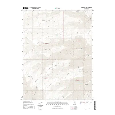
2017 Summerhouse Ridge
Carbon County, UT
2017 Sunnyside
Carbon County, UT
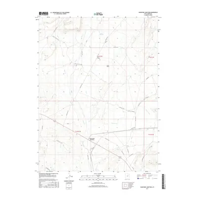
2017 Sunnyside Junction
Carbon County, UT
2017 Twin Hollow
Carbon County, UT
2017 Wattis
Carbon County, UT
2020 Bruin Point
Carbon County, UT
2020 Cedar Ridge Canyon
Carbon County, UT

2020 Colton
Carbon County, UT
2020 Deadman Canyon
Carbon County, UT
2020 Jump Creek
Carbon County, UT
2020 Kyune
Carbon County, UT
2020 Matts Summit
Carbon County, UT
2020 Mount Bartles
Carbon County, UT
2020 Patmos Head
Carbon County, UT
2020 Pine Canyon
Carbon County, UT
2020 Pinnacle Peak
Carbon County, UT
2020 Standardville
Carbon County, UT
2020 Steer Ridge Canyon
Carbon County, UT
2020 Summerhouse Ridge
Carbon County, UT
2020 Sunnyside
Carbon County, UT
2020 Sunnyside Junction
Carbon County, UT
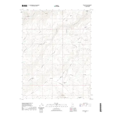
2020 Twin Hollow
Carbon County, UT
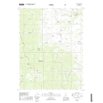
2020 Wattis
Carbon County, UT
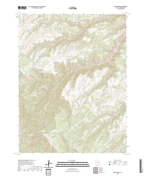
2023 Bruin Point
Carbon County, UT
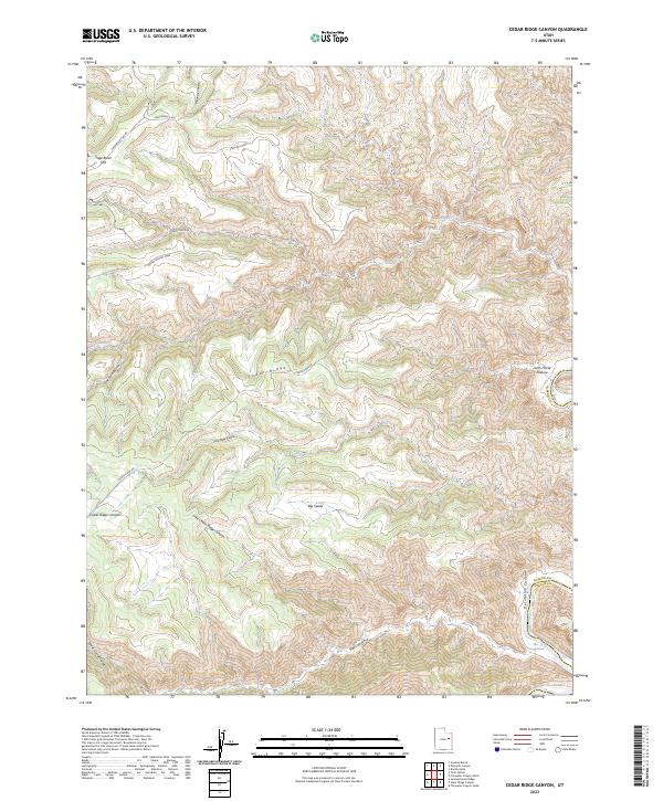
2023 Cedar Ridge Canyon
Carbon County, UT
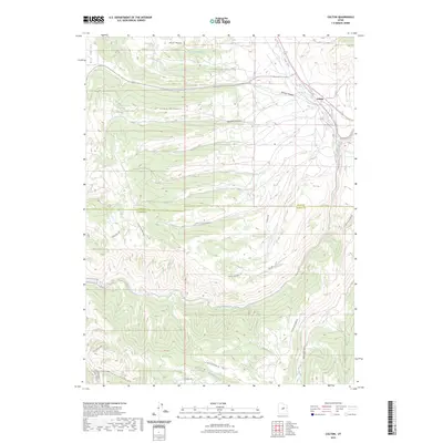
2023 Colton
Carbon County, UT
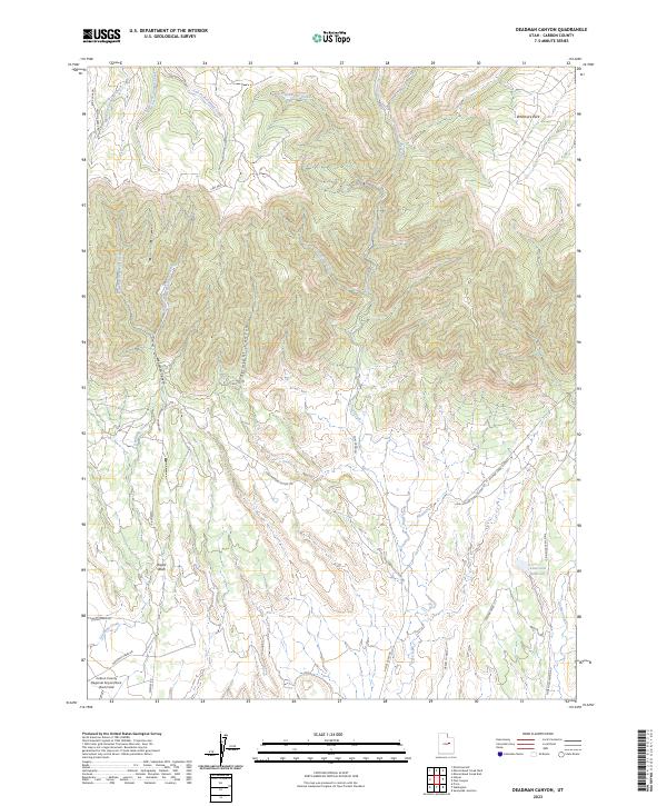
2023 Deadman Canyon
Carbon County, UT
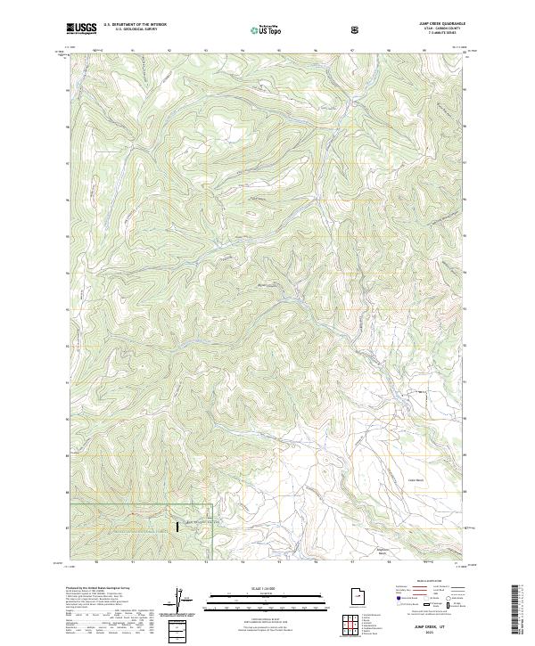
2023 Jump Creek
Carbon County, UT
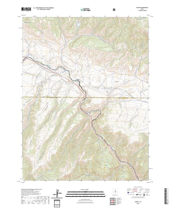
2023 Kyune
Carbon County, UT
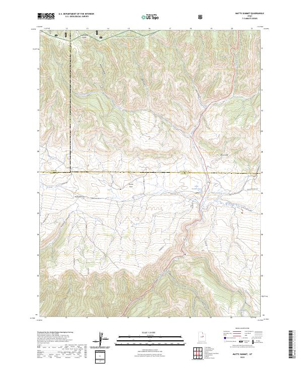
2023 Matts Summit
Carbon County, UT
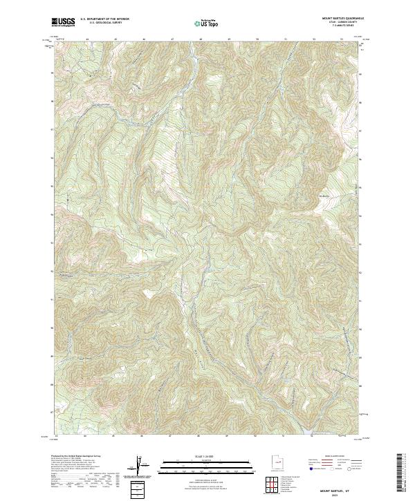
2023 Mount Bartles
Carbon County, UT
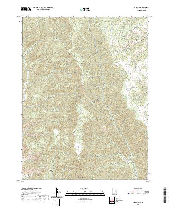
2023 Patmos Head
Carbon County, UT
2023 Pine Canyon
Carbon County, UT
2023 Pinnacle Peak
Carbon County, UT
2023 Standardville
Carbon County, UT
2023 Steer Ridge Canyon
Carbon County, UT
2023 Summerhouse Ridge
Carbon County, UT
2023 Sunnyside
Carbon County, UT
2023 Sunnyside Junction
Carbon County, UT
2023 Twin Hollow
Carbon County, UT
2023 Wattis
Carbon County, UT