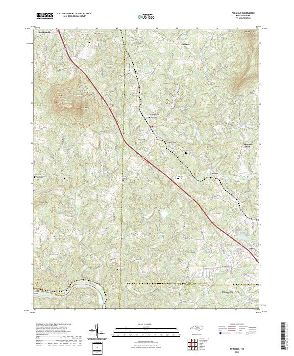
2022 Map of Pinnacle
USGS Topo · Published 2022About this map
Pilot Mountain rises as the dominant landmark of the northwest, its slopes marked by a network of trails such as the Mountain Trl and Grindstone Trl. The landscape descends toward the Little Yadkin River, where the settlement of Pinnacle sits near the crossing of the W Prong Little Yadkin River. This area is notable for its high density of family and community burial grounds, including the Stone Cem, Edwards Cem, and the Pinnacle United Methodist Church Cem, reflecting deep-seated generational roots in this corner of North Carolina.
Find a feature on this map
46 named features on this map. Tap any name to fly to it.
Don’t see what you’re looking for? This feature index may not catch every label — zoom into the map to look around manually.
Map Details
Editions of this 2022 Pinnacle Map
This is the sole edition of this map. No revisions or reprints were ever made.
Other maps of this area

1891 · Yadkinville
USGS Topo · 1:125,000

1893 · Yadkinville
USGS Topo · 1:125,000
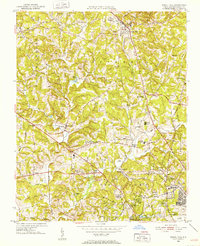
1951 · Rural Hall
USGS Topo · 1:24,000

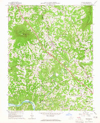
1953 · Winston-Salem
USGS Topo · 1:250,000

1955 · Winston-Salem
USGS Topo · 1:250,000

1962 · Winston-Salem
USGS Topo · 1:250,000
1964 · Hanging Rock
USGS Topo · 1:24,000
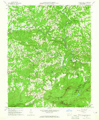
1964 · Pinnacle
USGS Topo · 1:24,000
1964 · King
USGS Topo · 1:24,000
1964 · Pilot Mountain
USGS Topo · 1:24,000