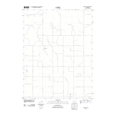
2010 Map of Pinneo SE
USGS Topo · Published 2010About this map
Gebaurer Family Cemetery stands as a quiet focal point for local genealogy in this corner of Washington County, marking the personal heritage of the plains. The landscape is defined by the ephemeral drainages of Camp Creek, Surueyor Creek, and Brunker Creek, which carve through a strictly gridded network of rural transit. This 2010 survey illustrates the intersection of traditional agriculture and energy extraction, as seen in the Belle Oil Field at the southern edge of the quadrangle. Aside from these features, the area is characterized by vast sections of open terrain and occasional landforms like Shears Draw, linked by an extensive system of county roads including County Road V and County Road Z.
Find a feature on this map
26 named features on this map. Tap any name to fly to it.
Don’t see what you’re looking for? This feature index may not catch every label — zoom into the map to look around manually.
Map Details
Editions of this 2010 Pinneo SE Map
This is the sole edition of this map. No revisions or reprints were ever made.
Other maps of this area

1954 · Limon
USGS Topo · 1:250,000

1954 · Sterling
USGS Topo · 1:250,000

1957 · Limon
USGS Topo · 1:250,000

1958 · Limon
USGS Topo · 1:250,000

1958 · Sterling
USGS Topo · 1:250,000

1973 · Antelope Creek East
USGS Topo · 1:24,000

1973 · Akron
USGS Topo · 1:24,000

1973 · Antelope Creek West
USGS Topo · 1:24,000

1973 · Rago
USGS Topo · 1:24,000

1973 · Fremont Butte
USGS Topo · 1:24,000