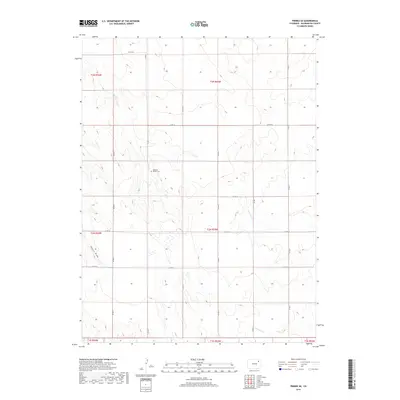
2019 Map of Pinneo SE
USGS Topo · Published 2019About this map
Gebaurer Family Cem sits in the central-western portion of this Washington County landscape, offering a specific point of interest for genealogists tracking local family histories. The terrain is defined by a series of intermittent drainages, including the northwest-trending Camp Cr and the southerly Surveyor Cr. To the south, Brunker Cr and the topographic feature known as Shears Draw further detail the prairie's natural contours. This 2019 survey shows a highly structured section-line road network, where routes like Co RD 36 and Co RD V form a rigid grid across the High Plains. The map's layout reflects the persistent agricultural and ranching patterns of the region, where roads and water sources serve as the primary landmarks in an otherwise open environment.
Find a feature on this map
23 named features on this map. Tap any name to fly to it.
Don’t see what you’re looking for? This feature index may not catch every label — zoom into the map to look around manually.
Map Details
Editions of this 2019 Pinneo SE Map
This is the sole edition of this map. No revisions or reprints were ever made.
Other maps of this area

1954 · Limon
USGS Topo · 1:250,000

1954 · Sterling
USGS Topo · 1:250,000

1957 · Limon
USGS Topo · 1:250,000

1958 · Limon
USGS Topo · 1:250,000

1958 · Sterling
USGS Topo · 1:250,000

1973 · Antelope Creek East
USGS Topo · 1:24,000

1973 · Akron
USGS Topo · 1:24,000

1973 · Antelope Creek West
USGS Topo · 1:24,000

1973 · Rago
USGS Topo · 1:24,000

1973 · Fremont Butte
USGS Topo · 1:24,000