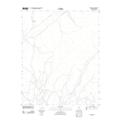
2011 Map of Pinon NW
USGS Topo · Published 2011About this map
Two Red Peaks Valley dominates this high-desert landscape within the Chinle Agency region, where the network of unpaved tribal routes facilitates movement across an arid, sparsely settled terrain. The 2011 survey reveals a territory where survival and navigation have long centered on isolated water sources and tanks. Strategic water points such as Cottonwood Spring, Replacing Cover Spring, and Lamb Spring are critical markers in this drainage basin. The map illustrates the specialized infrastructure of the region, where Indian Rte 8066 and Indian Rte 41 intersect, connecting distant ridges and valleys. Other remote landmarks like Lokasakal Spring and the Ramhead Tank highlight the importance of water management in this part of the Navajo Nation.
Find a feature on this map
11 named features on this map. Tap any name to fly to it.
Don’t see what you’re looking for? This feature index may not catch every label — zoom into the map to look around manually.
Map Details
Editions of this 2011 Pinon NW Map
This is the sole edition of this map. No revisions or reprints were ever made.
Other maps of this area

1883 · Marsh Pass
USGS Topo · 1:250,000

1892 · Marsh Pass
USGS Topo · 1:250,000

1956 · Marble Canyon
USGS Topo · 1:250,000

1959 · Marble Canyon
USGS Topo · 1:250,000

1961 · Marble Canyon
USGS Topo · 1:250,000
1967 · Whippoorwill Spring
USGS Topo · 1:24,000
1967 · Pinon NW
USGS Topo · 1:24,000
1967 · Coat Spring
USGS Topo · 1:24,000
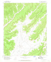
1967 · Burnt Corn Spring
USGS Topo · 1:24,000
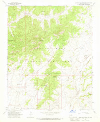
1967 · Little Black Spot Mtn
USGS Topo · 1:24,000