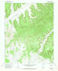
1967 Map of Pinon NW
USGS Topo · Published 1969About this map
The Navajo - Hopi Joint Use Area dominates this high-plateau landscape, showing the complex administrative geography of northern Arizona in the late 1960s. The terrain is defined by deeply incised drainage systems, most notably the winding courses of Oraibi Wash and Wepo Wash, which carve through the high mesas. A network of vital water sources is scattered across the arid topography, including Cottonwood Spring, Replacing Cover Spring, and Lamb Spring, each serving as a critical landmark in this desert environment. Notable landforms such as Two Red Peaks and the broad Sliding Rocks Valley provide vertical relief and orientation points for those navigating the region. The map reveals an intricate pattern of unimproved dirt roads and trails that follow the natural contours of the valley floors and ridges, linking remote reaches of the joint territory.
Find a feature on this map
10 named features on this map. Tap any name to fly to it.
Don’t see what you’re looking for? This feature index may not catch every label — zoom into the map to look around manually.
Map Details
Editions of this 1967 Pinon NW Map
This is the sole edition of this map. No revisions or reprints were ever made.
Other maps of this area

1883 · Marsh Pass
USGS Topo · 1:250,000

1892 · Marsh Pass
USGS Topo · 1:250,000

1956 · Marble Canyon
USGS Topo · 1:250,000

1959 · Marble Canyon
USGS Topo · 1:250,000

1961 · Marble Canyon
USGS Topo · 1:250,000
1967 · Whippoorwill Spring
USGS Topo · 1:24,000
1967 · Coat Spring
USGS Topo · 1:24,000
1967 · Burnt Corn Spring
USGS Topo · 1:24,000
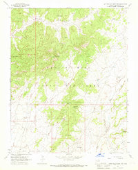
1967 · Little Black Spot Mtn
USGS Topo · 1:24,000
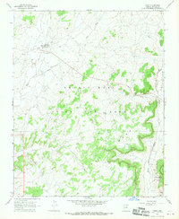
1967 · Pinon
USGS Topo · 1:24,000