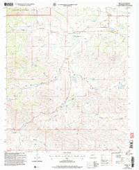
2004 Map of Pinon
USGS Topo · Published 2006About this map
Pinon anchors the high plateau of the Sacramento Mountains within this 2004 revision of the Otero County landscape. The settlement, supported by the Piñon Cem, serves as a focal point for a ranching-heavy environment where water management is paramount. Numerous earthen tanks, such as Dipping Vat Tank, Dare Tank, and Scott Tank, dot the drainage basins to support livestock in a semi-arid region.
Find a feature on this map
44 named features on this map. Tap any name to fly to it.
Don’t see what you’re looking for? This feature index may not catch every label — zoom into the map to look around manually.
Map Details
Editions of this 2004 Pinon Map
This is the sole edition of this map. No revisions or reprints were ever made.
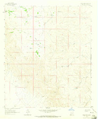
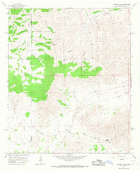
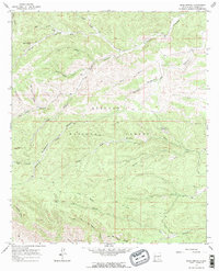
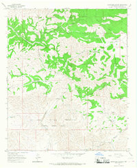
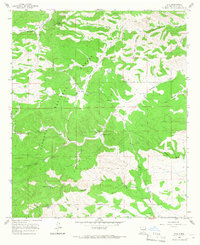
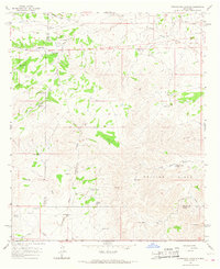
Other maps of this area

1954 · Carlsbad
USGS Topo · 1:250,000

1958 · Carlsbad
USGS Topo · 1:250,000

1963 · Cornucopia Canyon
USGS Topo · 1:24,000
1963 · Indian Draw
USGS Topo · 1:24,000
1965 · Chimney Lake
USGS Topo · 1:24,000
1965 · Bear Spring
USGS Topo · 1:24,000
1965 · Surveyors Canyon
USGS Topo · 1:24,000
1965 · Avis
USGS Topo · 1:24,000
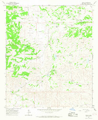
1965 · Pinon
USGS Topo · 1:24,000
1965 · Cornucopia Canyon
USGS Topo · 1:24,000