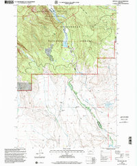
1997 Map of Pintler Lake
USGS Topo · Published 2002About this map
The high country of the Beaverhead National Forest meets the ranching valley of the Big Hole River in this late-twentieth-century revision. The northern terrain is defined by the Anaconda Pintler Wilderness, where Pintler Lake and Pintler Falls sit below Mudd Creek Ridge. This rugged geography transitions into a managed landscape of agricultural water rights and early settlements to the south.
Find a feature on this map
27 named features on this map. Tap any name to fly to it.
Don’t see what you’re looking for? This feature index may not catch every label — zoom into the map to look around manually.
Map Details
Editions of this 1997 Pintler Lake Map
This is the sole edition of this map. No revisions or reprints were ever made.
Other maps of this area

1955 · Dillon
USGS Topo · 1:250,000

1957 · Dillon
USGS Topo · 1:250,000

1958 · Dillon
USGS Topo · 1:250,000

1962 · Dillon
USGS Topo · 1:250,000

1962 · Mud Lake
USGS Topo · 1:24,000

1962 · Pine Hill
USGS Topo · 1:24,000

1962 · Pintlar Lake
USGS Topo · 1:24,000

1962 · Proposal Rock
USGS Topo · 1:24,000
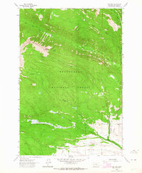
1962 · Long Peak
USGS Topo · 1:24,000
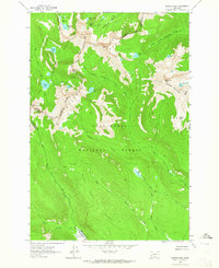
1962 · Warren Peak
USGS Topo · 1:24,000