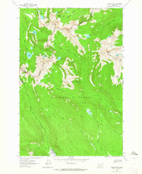
1962 Map of Warren Peak
USGS Topo · Published 1964About this map
The Continental Divide winds through the heart of the Anaconda Range, marking the boundary between the Deerlodge National Forest and Beaverhead National Forest. This 1962 survey reveals a high-altitude wilderness defined by glaciated basins and prominent summits such as Warren Peak and Saddle Mountain. The landscape is characterized by its complex hydrology, with numerous alpine lakes like Rainbow Lake and Edith Lake feeding into the West Fork Fishtrap Creek and Pintlar Creek drainage systems.
Find a feature on this map
41 named features on this map. Tap any name to fly to it.
Don’t see what you’re looking for? This feature index may not catch every label — zoom into the map to look around manually.
Map Details
Editions of this 1962 Warren Peak Map
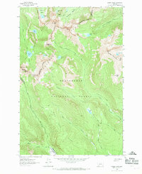
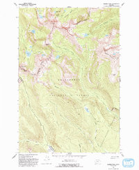
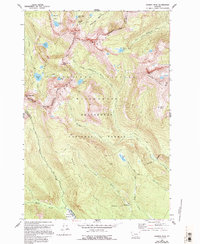
4 editions found
Other maps of this area

1908 · Philipsburg
USGS Topo · 1:125,000

1909 · Sapphire
USGS Topo · 1:125,000

1947 · Butte
USGS Topo · 1:250,000

1955 · Dillon
USGS Topo · 1:250,000

1957 · Dillon
USGS Topo · 1:250,000

1958 · Butte
USGS Topo · 1:250,000

1958 · Dillon
USGS Topo · 1:250,000

1960 · Butte
USGS Topo · 1:250,000

1962 · Butte
USGS Topo · 1:250,000

1962 · Dillon
USGS Topo · 1:250,000