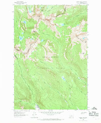
1962 Map of Warren Peak
USGS Topo · Published 1970About this map
The high alpine crest of the Anaconda Range dominates this 1960s study, where the Continental Divide winds between Warren Peak and East Pintlar Peak. This high-elevation wilderness area is defined by its numerous glacial basins and lakes, including Tamarack Lake, Edith Lake, and Rainbow Lake, which feed the headwaters of the West Fork Fishtrap Creek and Mudd Creek. The rugged interior is crossed by an extensive network of footpaths, such as the Hi Line Trail and the Palisade Trail, highlighting the area's role as a remote backcountry resource within the Deerlodge National Forest and Beaverhead National Forest. At the lower elevations near the southern border, the map reveals Pintlar Meadows, a rare break in the timbered slopes. The presence of the Paddock Ditch near the eastern edge suggests early water management efforts to divert mountain runoff for use in the valleys below.
Find a feature on this map
41 named features on this map. Tap any name to fly to it.
Don’t see what you’re looking for? This feature index may not catch every label — zoom into the map to look around manually.
Map Details
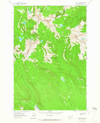
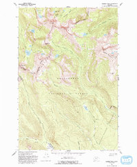
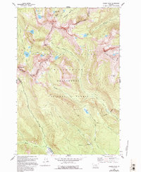
Editions of this 1962 Warren Peak Map
4 editions found
Other maps of this area

1908 · Philipsburg
USGS Topo · 1:125,000

1909 · Sapphire
USGS Topo · 1:125,000

1947 · Butte
USGS Topo · 1:250,000

1955 · Dillon
USGS Topo · 1:250,000

1957 · Dillon
USGS Topo · 1:250,000

1958 · Butte
USGS Topo · 1:250,000

1958 · Dillon
USGS Topo · 1:250,000

1960 · Butte
USGS Topo · 1:250,000

1962 · Butte
USGS Topo · 1:250,000

1962 · Dillon
USGS Topo · 1:250,000