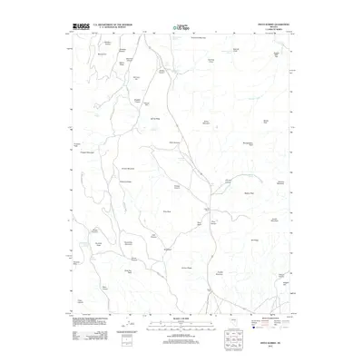
2012 Map of Pinto Summit
USGS Topo · Published 2012About this map
Pinto Summit serves as a high-altitude crossing in the Diamond Mountains of White Pine County, where US Route 50 winds through a landscape defined by historic mining activity and isolated water sources. Evidence of the region’s extractive history is clearly marked by the Diamond Mine and Windfall Mine, with Windfall Canyon Rd providing access to these rugged elevations. The presence of Schaefer Ranch at the base of Pinto Peak suggests a long-standing pattern of high-desert ranching dependent on the scattered springs that dot the terrain.
Find a feature on this map
66 named features on this map. Tap any name to fly to it.
Don’t see what you’re looking for? This feature index may not catch every label — zoom into the map to look around manually.
Map Details
Editions of this 2012 Pinto Summit Map
This is the sole edition of this map. No revisions or reprints were ever made.
Other maps of this area

1926 · Roberts Mountains
USGS Topo · 1:250,000

1929 · Roberts Mountains
USGS Topo · 1:250,000

1953 · Pinto Summit
USGS Topo · 1:62,500

1953 · Eureka
USGS Topo · 1:62,500

1955 · Millett
USGS Topo · 1:250,000

1956 · Bellevue Peak
USGS Topo · 1:62,500

1956 · Whistler Mtn
USGS Topo · 1:62,500

1956 · Ely
USGS Topo · 1:250,000

1959 · Ely
USGS Topo · 1:250,000

1959 · Millett
USGS Topo · 1:250,000