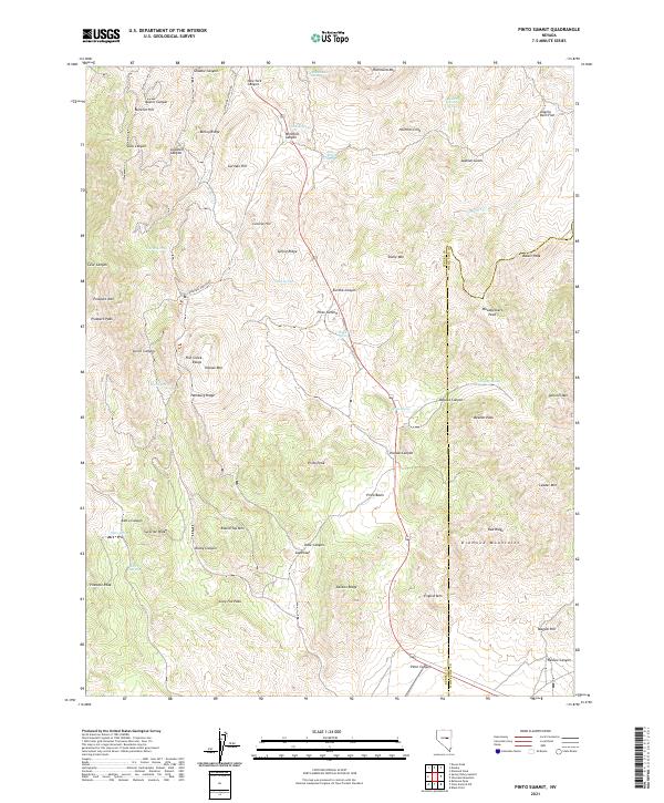
2021 Map of Pinto Summit
USGS Topo · Published 2021About this map
Pinto Summit serves as the high mountain pass for Route 50, carving through the high-elevation basin where the Fish Creek Range meets the Diamond Mountains. This high-desert landscape is defined by its vital water sources, including Bullwhacker Spring, Milk Ranch Spring, and Black Pitch Spring, which historically supported ranching and prospecting in these arid corridors.
Find a feature on this map
73 named features on this map. Tap any name to fly to it.
Don’t see what you’re looking for? This feature index may not catch every label — zoom into the map to look around manually.
Map Details
Editions of this 2021 Pinto Summit Map
This is the sole edition of this map. No revisions or reprints were ever made.
Other maps of this area

1926 · Roberts Mountains
USGS Topo · 1:250,000

1929 · Roberts Mountains
USGS Topo · 1:250,000

1953 · Pinto Summit
USGS Topo · 1:62,500

1953 · Eureka
USGS Topo · 1:62,500

1955 · Millett
USGS Topo · 1:250,000

1956 · Bellevue Peak
USGS Topo · 1:62,500

1956 · Whistler Mtn
USGS Topo · 1:62,500

1956 · Ely
USGS Topo · 1:250,000

1959 · Ely
USGS Topo · 1:250,000

1959 · Millett
USGS Topo · 1:250,000