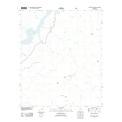
2011 Map of Pinyon Mountain
USGS Topo · Published 2011About this map
Apache Lake and its western reach at Mazatzal Bay dominate the northwest corner of this interior Arizona landscape, where the historic Apache Trl winds through the high country. The terrain is defined by dramatic elevation changes, moving from the waters of Pine Creek up to the heights of Pinyon Mountain and Two Bar Ridge. This area is a critical drainage basin for the region, mapped through a dense network of water sources such as Bronco Spring, Ike Spring, and Hidden Spring.
Find a feature on this map
42 named features on this map. Tap any name to fly to it.
Don’t see what you’re looking for? This feature index may not catch every label — zoom into the map to look around manually.
Map Details
Editions of this 2011 Pinyon Mountain Map
This is the sole edition of this map. No revisions or reprints were ever made.
Other maps of this area

1900 · Florence
USGS Topo · 1:125,000

1902 · Florence
USGS Topo · 1:125,000

1907 · Roosevelt
USGS Topo · 1:125,000

1909 · Four Peaks
USGS Topo · 1:125,000

1912 · Roosevelt
USGS Topo · 1:125,000

1948 · Superior
USGS Topo · 1:62,500

1948 · Iron Mountain
USGS Topo · 1:24,000
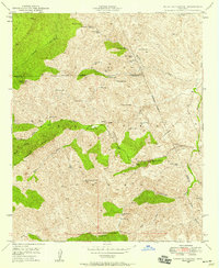
1948 · Haunted Canyon
USGS Topo · 1:24,000

1949 · Iron Mountain
USGS Topo · 1:24,000
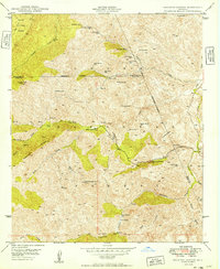
1949 · Haunted Canyon
USGS Topo · 1:24,000