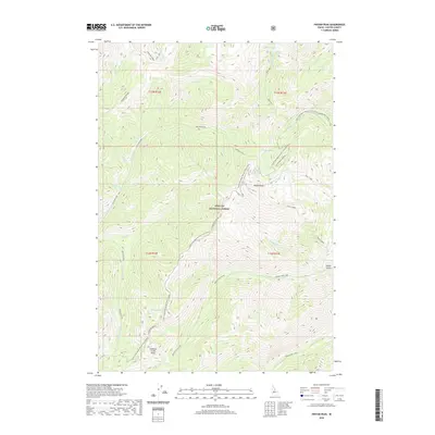
2020 Map of Pinyon Peak
USGS Topo · Published 2020About this map
Pinyon Peak stands as the central landmark within this portion of the Challis National Forest, where a network of seasonal routes and high-altitude water bodies defines the terrain. The presence of the Loon Creek Road (Winter Trail) (Snow) and the Pinyon Peak Loop Rd indicates a landscape primarily utilized for forest management and backcountry access. These trails and roads navigate around prominent relief features like Sheep Mtn Ridge and Feltham Creek Point.
Find a feature on this map
34 named features on this map. Tap any name to fly to it.
Don’t see what you’re looking for? This feature index may not catch every label — zoom into the map to look around manually.
Map Details
Editions of this 2020 Pinyon Peak Map
This is the sole edition of this map. No revisions or reprints were ever made.
Other maps of this area

1891 · Bear Valley
USGS Topo · 1:125,000

1893 · Bear Valley
USGS Topo · 1:125,000

1919 · Custer
USGS Topo · 1:125,000

1922 · Custer
USGS Topo · 1:125,000

1930 · Casto
USGS Topo · 1:125,000

1957 · Challis
USGS Topo · 1:250,000

1960 · Challis
USGS Topo · 1:250,000

1961 · Greyhound Ridge
USGS Topo · 1:62,500

1963 · Challis
USGS Topo · 1:250,000

1963 · Pinyon Peak
USGS Topo · 1:24,000