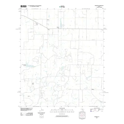
2010 Map of Pioneer
USGS Topo · Published 2010About this map
Pioneer and Williams anchor this rural landscape in West Central Texas, where the local economy transitions between ranching, water management, and energy extraction. The western edge of the sheet is marked by the industrial footprint of the Cross Cut Oil Field, while numerous reservoirs and dams, such as the Lakewood Reservoir Dam and the Soil Conservation Service Site 34 Reservoir, indicate the critical importance of water conservation in this arid environment.
Find a feature on this map
43 named features on this map. Tap any name to fly to it.
Don’t see what you’re looking for? This feature index may not catch every label — zoom into the map to look around manually.
Map Details
Editions of this 2010 Pioneer Map
This is the sole edition of this map. No revisions or reprints were ever made.
Other maps of this area

1887 · Coleman
USGS Topo · 1:125,000

1889 · Brownwood
USGS Topo · 1:125,000

1889 · Coleman
USGS Topo · 1:125,000

1894 · Eastland
USGS Topo · 1:125,000

1894 · Brownwood
USGS Topo · 1:125,000

1924 · Coleman 1-a
USGS Topo · 1:48,000

1924 · Brownwood Reservoir Site
USGS Topo · 1:48,000

1927 · Grosvenor
USGS Topo · 1:62,500

1931 · Baird
USGS Topo · 1:125,000

1932 · Baird
USGS Topo · 1:125,000