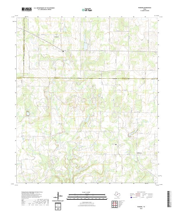
2022 Map of Pioneer
USGS Topo · Published 2022About this map
Pioneer and Williams anchor this survey of the North Texas plains, where the borderlands of Callahan, Eastland, and Brown counties meet. The landscape is defined by the drainage systems of Paint Creek and the Red River, showing a rural environment dedicated to land management and livestock. Significant local markers include the Pioneer Cem and Blake Cem, providing essential points of reference for genealogists tracking families in this tri-county area. The presence of the Soil Conservation Service Site 34 Reservoir reflects mid-century efforts to manage water resources in this part of Texas. A dense network of county roads, such as Co RD 250 and Co RD 432, connects the scattered farmsteads and old communities, preserving a footprint of rural life that has remained relatively consistent over decades of ranching history.
Find a feature on this map
53 named features on this map. Tap any name to fly to it.
Don’t see what you’re looking for? This feature index may not catch every label — zoom into the map to look around manually.
Map Details
Editions of this 2022 Pioneer Map
This is the sole edition of this map. No revisions or reprints were ever made.
Other maps of this area

1887 · Coleman
USGS Topo · 1:125,000

1889 · Brownwood
USGS Topo · 1:125,000

1889 · Coleman
USGS Topo · 1:125,000

1894 · Eastland
USGS Topo · 1:125,000

1894 · Brownwood
USGS Topo · 1:125,000

1924 · Coleman 1-a
USGS Topo · 1:48,000

1924 · Brownwood Reservoir Site
USGS Topo · 1:48,000

1927 · Grosvenor
USGS Topo · 1:62,500

1931 · Baird
USGS Topo · 1:125,000

1932 · Baird
USGS Topo · 1:125,000