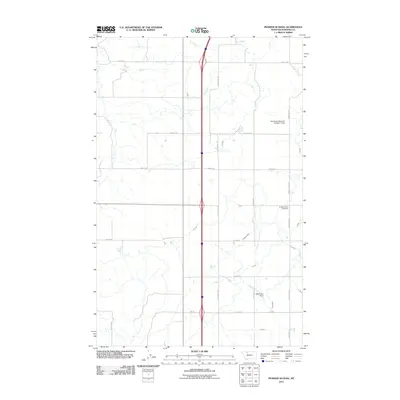
2011 Map of Pioneer School
USGS Topo · Published 2011About this map
The Pioneer School (historical) anchors a vast irrigation-driven landscape in Pondera County, where the agricultural geometry is defined by an intricate network of water management features. The local economy relies on a system of canals and ditches, including the S Canal, G Canal, and specifically named lateral lines like the S Seven Ditch and the K 9 Ditch. Infrastructure for water storage is evident at the Keil Ranch Reservoir Number 1 Dam and the Aldebaran Dam, which support the dryland farming practices of the high plains.
Find a feature on this map
29 named features on this map. Tap any name to fly to it.
Don’t see what you’re looking for? This feature index may not catch every label — zoom into the map to look around manually.
Map Details
Editions of this 2011 Pioneer School Map
This is the sole edition of this map. No revisions or reprints were ever made.
Other maps of this area

1920 · Dupuyer
USGS Topo · 1:125,000

1920 · Conrad
USGS Topo · 1:125,000

1934 · Valier
USGS Topo · 1:62,500

1937 · Valier
USGS Topo · 1:62,500

1938 · Gallup City
USGS Topo · 1:62,500

1942 · Gallup City
USGS Topo · 1:62,500

1954 · Shelby
USGS Topo · 1:250,000

1958 · Shelby
USGS Topo · 1:250,000

1960 · Cut Bank
USGS Topo · 1:250,000

1963 · Cut Bank
USGS Topo · 1:250,000