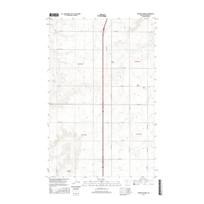
2017 Map of Pioneer School
USGS Topo · Published 2017About this map
The Pioneer School area of Pondera County exhibits a landscape defined by an extensive and intricate irrigation network. This high plains terrain is etched with essential water infrastructure, including the S Canal, L Canal, and numerous specialized channels like S Seven-Ditch and K-2 Ditch. These waterways serve a patchwork of agricultural lands divided by a grid of rural routes such as Old Shelby Rd and Valler Hwy. The natural topography breaks the geometric regularity of the fields through deep seasonal drainages, most notably Hilger Coulee, Swift Coulee, and Big Flat Coulee. This 2017 survey reflects a modern era of industrial-scale farming where water management and road access are the primary drivers of land use. The presence of the Pioneer School remains a focal point for the surrounding rural community, marking a rare institutional landmark amidst the sprawling irrigation tracts.
Find a feature on this map
40 named features on this map. Tap any name to fly to it.
Don’t see what you’re looking for? This feature index may not catch every label — zoom into the map to look around manually.
Map Details
Editions of this 2017 Pioneer School Map
This is the sole edition of this map. No revisions or reprints were ever made.
Other maps of this area

1920 · Dupuyer
USGS Topo · 1:125,000

1920 · Conrad
USGS Topo · 1:125,000

1934 · Valier
USGS Topo · 1:62,500

1937 · Valier
USGS Topo · 1:62,500

1938 · Gallup City
USGS Topo · 1:62,500

1942 · Gallup City
USGS Topo · 1:62,500

1954 · Shelby
USGS Topo · 1:250,000

1958 · Shelby
USGS Topo · 1:250,000

1960 · Cut Bank
USGS Topo · 1:250,000

1963 · Cut Bank
USGS Topo · 1:250,000