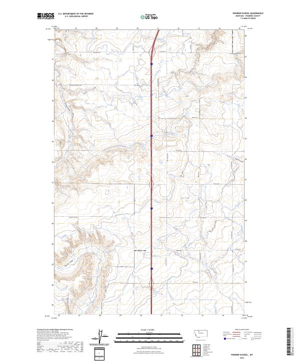
2024 Map of Pioneer School
USGS Topo · Published 2024About this map
S Canal and a complex network of irrigation ditches, including S Seven Ditch and L Canal, define the agricultural landscape of this Pondera County region. The terrain is marked by significant drainage features such as Schultz Coulee and Big Flat Coulee, which cut through the high plains. This 2024 survey reflects a century of water management essential for farming in north-central Montana. The road network, including the Valler Hwy and Old Shelby Rd, follows the section lines of the Public Land Survey System, specifically within Townships 29 and 30 North. Local history is suggested by named corridors like Belgian Church Rd, indicating early settlement patterns and community centers that once served the rural population. The presence of numerous irrigation channels like F One Ditch and EF Ditch emphasizes the engineered nature of the contemporary prairie environment.
Find a feature on this map
37 named features on this map. Tap any name to fly to it.
Don’t see what you’re looking for? This feature index may not catch every label — zoom into the map to look around manually.
Map Details
Editions of this 2024 Pioneer School Map
This is the sole edition of this map. No revisions or reprints were ever made.
Other maps of this area

1920 · Dupuyer
USGS Topo · 1:125,000

1920 · Conrad
USGS Topo · 1:125,000

1934 · Valier
USGS Topo · 1:62,500

1937 · Valier
USGS Topo · 1:62,500

1938 · Gallup City
USGS Topo · 1:62,500

1942 · Gallup City
USGS Topo · 1:62,500

1954 · Shelby
USGS Topo · 1:250,000

1958 · Shelby
USGS Topo · 1:250,000

1960 · Cut Bank
USGS Topo · 1:250,000

1963 · Cut Bank
USGS Topo · 1:250,000