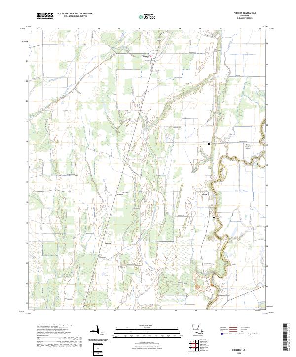
2024 Map of Pioneer
USGS Topo · Published 2024About this map
Poverty Point National Monument anchors the southeastern landscape of this Louisiana quadrangle, representing one of North America's most significant ancient earthwork complexes along the banks of Bayou Macon. The map documents the rural character of West Carroll Parish, where the winding water of Alligator Bayou and Lyon Bayou intersect with a grid of local routes like Leggett Crossing Rd and Folds Rd. Small agricultural settlements and hamlets define the northern half of the sheet, including the town of Pioneer and the community of Floyd. The mapping of small family and local burial grounds, such as Wilson Cem and the Bayou Macon Cemetery, provides essential data for genealogists tracing regional lineages. Toward the south, the presence of Montgomery Ferry and Darnell reflects the historical reliance on the bayou system for transit and connectivity between the West Carroll and East Carroll Parish lines.
Find a feature on this map
74 named features on this map. Tap any name to fly to it.
Don’t see what you’re looking for? This feature index may not catch every label — zoom into the map to look around manually.
Map Details
Editions of this 2024 Pioneer Map
This is the sole edition of this map. No revisions or reprints were ever made.
Other maps of this area

1909 · Baxter Bayou
USGS Topo · 1:24,000

1911 · Baxter Bayou
USGS Topo · 1:24,000

1914 · Baxter Bayou
USGS Topo · 1:31,680

1935 · Hurricane
USGS Topo · 1:62,500

1935 · Oak Grove
USGS Topo · 1:62,500

1935 · Bonita
USGS Topo · 1:62,500

1955 · Jackson
USGS Topo · 1:250,000

1958 · Oak Grove
USGS Topo · 1:62,500

1958 · Hurricane
USGS Topo · 1:62,500

1958 · Bonita
USGS Topo · 1:62,500