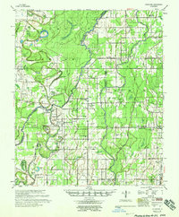
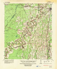
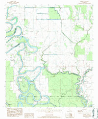
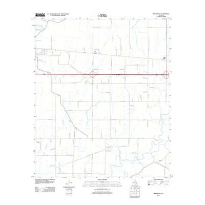
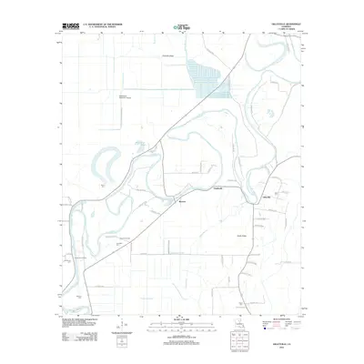
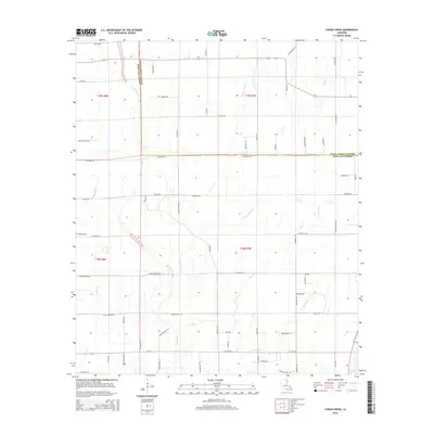
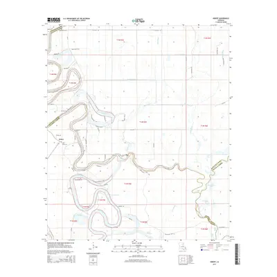
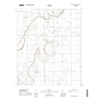
1958 Map of Hurricane
USGS Topo · Published 1958About this map
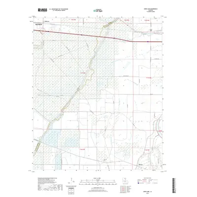
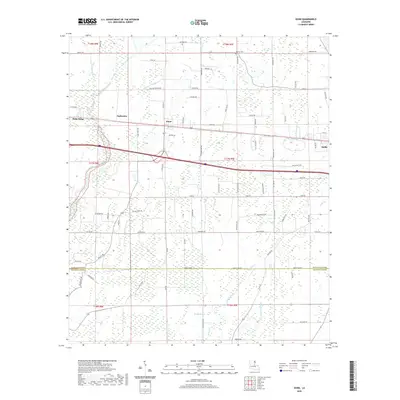
Boeuf River and Bayou Bonne Idee wind through this northeast Louisiana landscape, defining a network of wetlands and islands at the intersection of Morehouse, West Carroll, and Richland Parishes. The 1958 road data reveals a rural economy centered on the river and the Missouri Pacific Railroad, with several engineering features like Cut-Off No. 1 and Boeuf River Cut-off indicating active flood control efforts.
Find a feature on this map
101 named features on this map. Tap any name to fly to it.
Don’t see what you’re looking for? This feature index may not catch every label — zoom into the map to look around manually.
Map Details
Editions of this 1958 Hurricane Map
This is the sole edition of this map. No revisions or reprints were ever made.
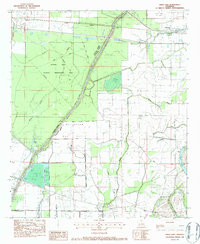
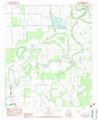
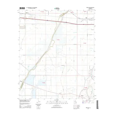
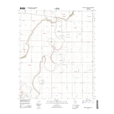
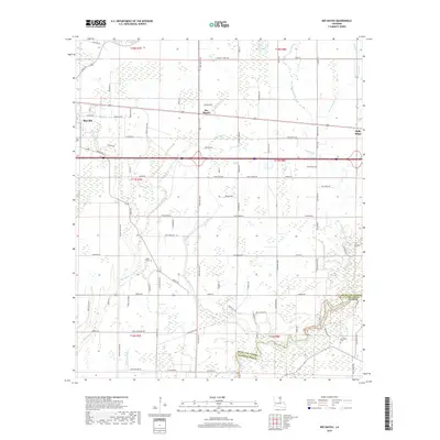
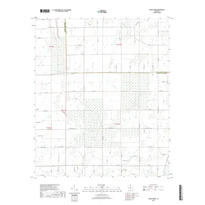
Historical Maps of Bear Skin Through Time
45 maps found
1935 Alto
Richland Parish, LA

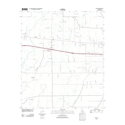
1935 Hurricane
Richland Parish, LA
1958 Hurricane
Richland Parish, LA
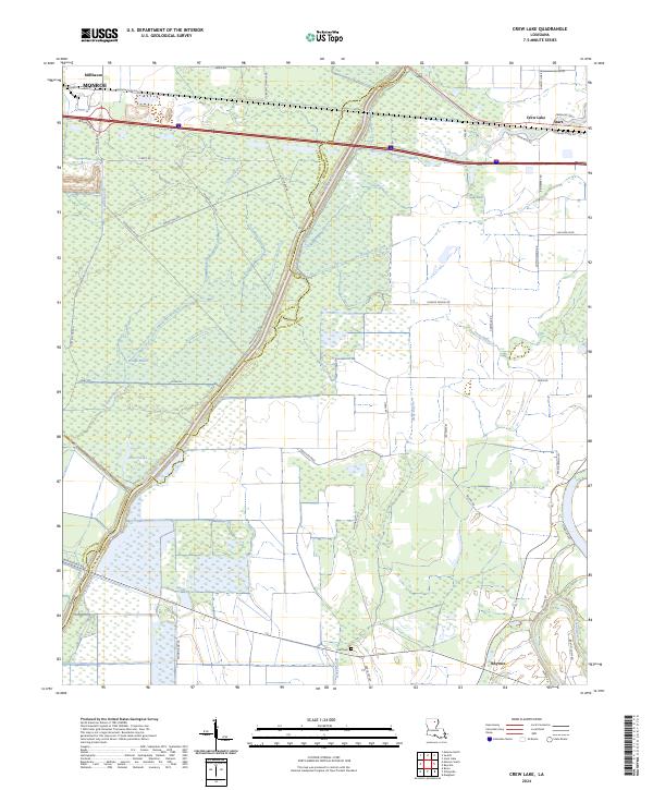
1982 Crew Lake
Richland Parish, LA
1982 Gilleyville
Richland Parish, LA
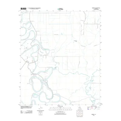
1983 Hebert
Richland Parish, LA
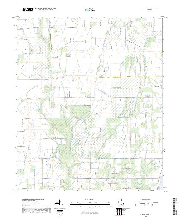
1986 Congo Creek
Richland Parish, LA
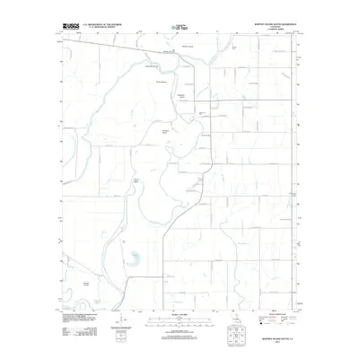
1986 Whitney Island South
Richland Parish, LA
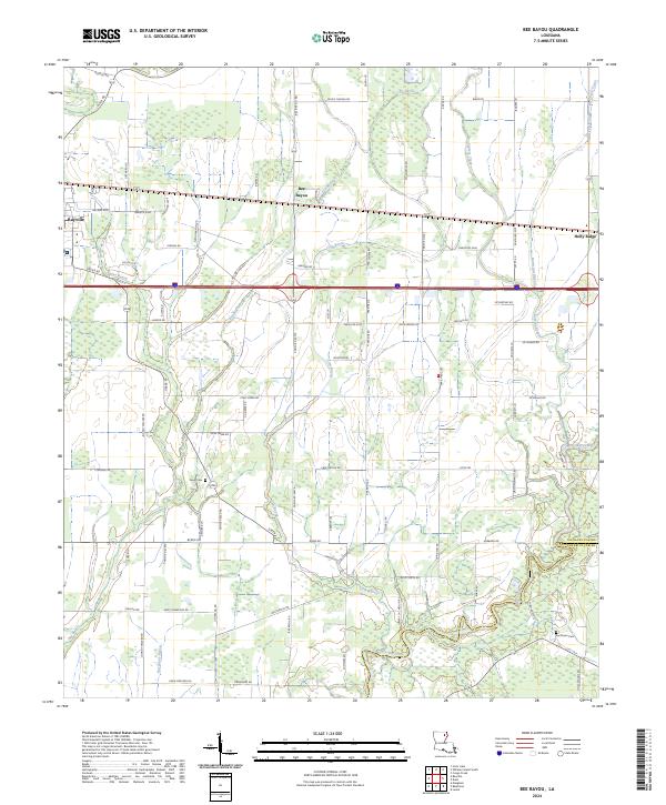
1987 Bee Bayou
Richland Parish, LA

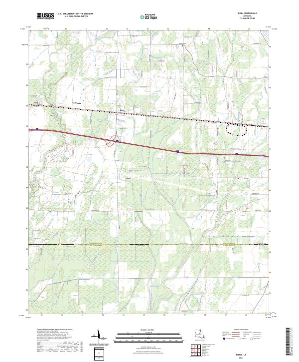
1987 Dunn
Richland Parish, LA
2012 Bee Bayou
Richland Parish, LA
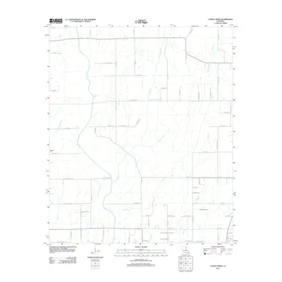
2012 Congo Creek
Richland Parish, LA
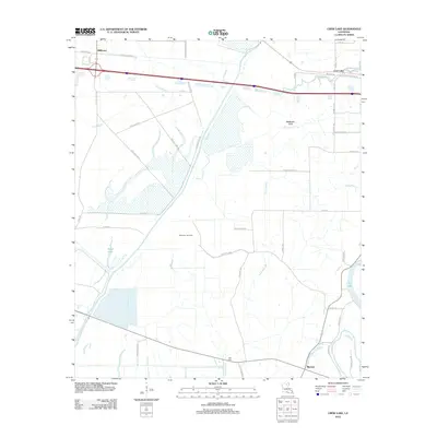
2012 Crew Lake
Richland Parish, LA
2012 Dunn
Richland Parish, LA
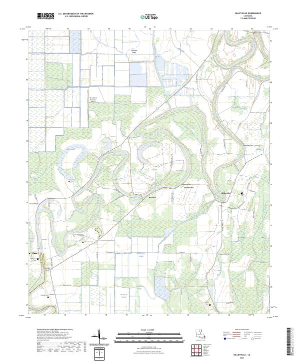
2012 Gilleyville
Richland Parish, LA
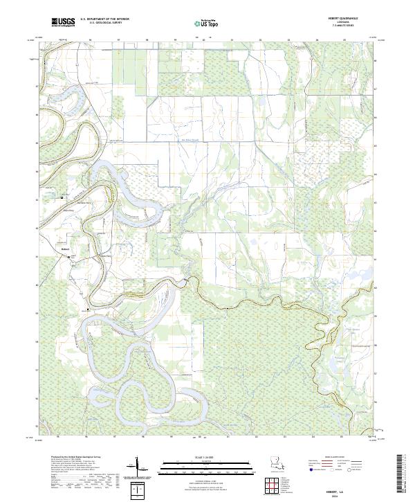
2012 Hebert
Richland Parish, LA
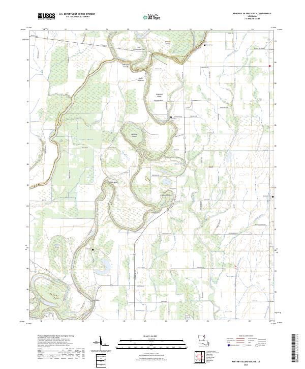
2012 Whitney Island South
Richland Parish, LA
2015 Bee Bayou
Richland Parish, LA
2015 Congo Creek
Richland Parish, LA
2015 Crew Lake
Richland Parish, LA
2015 Dunn
Richland Parish, LA
2015 Gilleyville
Richland Parish, LA
2015 Hebert
Richland Parish, LA
2015 Whitney Island South
Richland Parish, LA
2018 Bee Bayou
Richland Parish, LA
2018 Congo Creek
Richland Parish, LA
2018 Crew Lake
Richland Parish, LA
2018 Dunn
Richland Parish, LA
2018 Gilleyville
Richland Parish, LA
2018 Hebert
Richland Parish, LA
2018 Whitney Island South
Richland Parish, LA
2020 Bee Bayou
Richland Parish, LA
2020 Congo Creek
Richland Parish, LA
2020 Crew Lake
Richland Parish, LA
2020 Dunn
Richland Parish, LA
2020 Gilleyville
Richland Parish, LA
2020 Hebert
Richland Parish, LA
2020 Whitney Island South
Richland Parish, LA
2024 Bee Bayou
Richland Parish, LA
2024 Congo Creek
Richland Parish, LA
2024 Crew Lake
Richland Parish, LA
2024 Dunn
Richland Parish, LA
2024 Gilleyville
Richland Parish, LA
2024 Hebert
Richland Parish, LA
2024 Whitney Island South
Richland Parish, LA