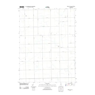
2012 Map of Piper City NE
USGS Topo · Published 2012About this map
Langan Cr meanders through the heart of this agricultural landscape in Kankakee County, tracing a natural path through a highly organized grid of rural roads and section lines. The terrain is defined by its drainage patterns and small aviation sites, including Porter Airport in the northwest and Berns Airport situated further south. This 2012 survey reveals the modern infrastructure of Illinois farming country, where long-established range lines like N 100 E Rd and N 700 E Rd frame a network of farm-to-market routes. The presence of specialized airstrips amidst the vast acreage of E 2900 N Rd and E 3300 N Rd highlights the intersection of traditional land use and twentieth-century utility.
Find a feature on this map
22 named features on this map. Tap any name to fly to it.
Don’t see what you’re looking for? This feature index may not catch every label — zoom into the map to look around manually.
Map Details
Editions of this 2012 Piper City NE Map
This is the sole edition of this map. No revisions or reprints were ever made.
Other maps of this area

1922 · Kankakee
USGS Topo · 1:62,500

1923 · Herscher
USGS Topo · 1:62,500

1924 · Kankakee
USGS Topo · 1:62,500

1925 · Herscher
USGS Topo · 1:62,500

1944 · Piper City
USGS Topo · 1:48,000

1944 · Gilman
USGS Topo · 1:62,500

1946 · Gilman
USGS Topo · 1:62,500

1947 · Piper City
USGS Topo · 1:62,500

1953 · Chicago
USGS Topo · 1:250,000

1953 · Danville
USGS Topo · 1:250,000