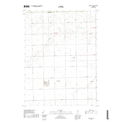
2018 Map of Piper City NE
USGS Topo · Published 2018About this map
The border of Kankakee Co Iroquois Co divides this rural landscape, defined by a rigid grid of agricultural roads and the meandering path of Langan Cr. This section of Illinois is characterized by expansive farmland, organized into townships like t29n r10e and t29n r11e. Local history is anchored by Milk's Grove Cem, a small burial ground situated near the intersection of Co Hwy 29 and 250 East Rd, serving as a tangible link to the area's early farming families. The presence of Berns Airport near 500 E illustrates the integration of light aviation into the regional transport network. The map reveals an intricate system of rural routes, from 3300 North Rd in the north to Co Rd 2600 N at the southern edge, illustrating the enduring layout of the prairie's road-and-section system.
Find a feature on this map
42 named features on this map. Tap any name to fly to it.
Don’t see what you’re looking for? This feature index may not catch every label — zoom into the map to look around manually.
Map Details
Editions of this 2018 Piper City NE Map
This is the sole edition of this map. No revisions or reprints were ever made.
Other maps of this area

1922 · Kankakee
USGS Topo · 1:62,500

1923 · Herscher
USGS Topo · 1:62,500

1924 · Kankakee
USGS Topo · 1:62,500

1925 · Herscher
USGS Topo · 1:62,500

1944 · Piper City
USGS Topo · 1:48,000

1944 · Gilman
USGS Topo · 1:62,500

1946 · Gilman
USGS Topo · 1:62,500

1947 · Piper City
USGS Topo · 1:62,500

1953 · Chicago
USGS Topo · 1:250,000

1953 · Danville
USGS Topo · 1:250,000