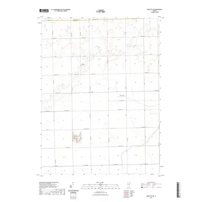
2021 Map of Piper City NE
USGS Topo · Published 2021About this map
Milk's Grove Cem is a central landmark in this agricultural landscape where the borders of Kankakee Co and Iroquois Co meet. The area is defined by a meticulous grid of rural roads such as Co Hwy 29 and N 700 East Rd, reflecting the enduring township-and-range surveying system of the Illinois prairie. Water management is evident through the winding path of Langan Cr in the southeast, which provides the primary natural drainage for these fertile fields. A small aviation footprint is preserved at Berns Airport, located just north of E 2950 North Rd. The map illustrates the persistent character of Illinois's farming country, where isolated cemeteries and private airfields serve as the primary points of interest among the vast sections of cultivated land.
Find a feature on this map
38 named features on this map. Tap any name to fly to it.
Don’t see what you’re looking for? This feature index may not catch every label — zoom into the map to look around manually.
Map Details
Editions of this 2021 Piper City NE Map
This is the sole edition of this map. No revisions or reprints were ever made.
Other maps of this area

1922 · Kankakee
USGS Topo · 1:62,500

1923 · Herscher
USGS Topo · 1:62,500

1924 · Kankakee
USGS Topo · 1:62,500

1925 · Herscher
USGS Topo · 1:62,500

1944 · Piper City
USGS Topo · 1:48,000

1944 · Gilman
USGS Topo · 1:62,500

1946 · Gilman
USGS Topo · 1:62,500

1947 · Piper City
USGS Topo · 1:62,500

1953 · Chicago
USGS Topo · 1:250,000

1953 · Danville
USGS Topo · 1:250,000