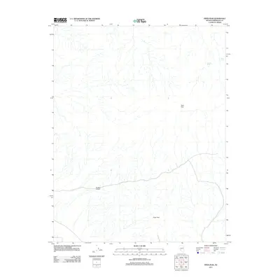
2011 Map of Piper Peak
USGS Topo · Published 2011About this map
Piper Peak dominates this high-altitude landscape in Esmeralda County, providing a clear look at the drainage patterns and terrain of the Silver Peak Range as they appeared in 2011. The topography is defined by significant elevations, including Sugar Peak to the south and the dramatic corridor of McAfee Canyon cutting through the western portion of the quadrangle. These features reflect the stark, arid environment of the Great Basin, where water sources are vital but sparse.
Find a feature on this map
5 named features on this map. Tap any name to fly to it.
Don’t see what you’re looking for? This feature index may not catch every label — zoom into the map to look around manually.
Map Details
Editions of this 2011 Piper Peak Map
This is the sole edition of this map. No revisions or reprints were ever made.
Other maps of this area

1898 · Silver Peak
USGS Topo · 1:125,000

1900 · Silver Peak
USGS Topo · 1:125,000

1908 · Lida
USGS Topo · 1:250,000

1913 · Lida
USGS Topo · 1:250,000

1917 · White Mountain
USGS Topo · 1:125,000

1947 · Mariposa
USGS Topo · 1:250,000

1948 · Mariposa
USGS Topo · 1:250,000

1954 · Goldfield
USGS Topo · 1:250,000

1955 · Goldfield
USGS Topo · 1:250,000

1957 · Mariposa
USGS Topo · 1:250,000