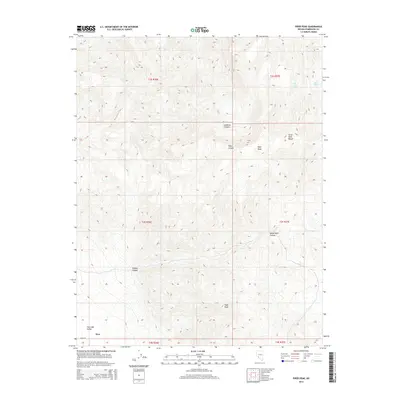
2014 Map of Piper Peak
USGS Topo · Published 2014About this map
Piper Peak and the high ridges of the Silver Peak Range dominate this high-desert Nevada landscape in the southwestern corner of Esmeralda County. The terrain drops sharply into the eastern edge of Fish Lake Valley, where the settlement of Dyer is located along the corridor of Eagle Rd. This topographic survey shows a network of steep drainages, including Icehouse Canyon, White Wolf Canyon, and McAfee Canyon, that cut through the massif toward the valley floor.
Find a feature on this map
18 named features on this map. Tap any name to fly to it.
Don’t see what you’re looking for? This feature index may not catch every label — zoom into the map to look around manually.
Map Details
Editions of this 2014 Piper Peak Map
This is the sole edition of this map. No revisions or reprints were ever made.
Other maps of this area

1898 · Silver Peak
USGS Topo · 1:125,000

1900 · Silver Peak
USGS Topo · 1:125,000

1908 · Lida
USGS Topo · 1:250,000

1913 · Lida
USGS Topo · 1:250,000

1917 · White Mountain
USGS Topo · 1:125,000

1947 · Mariposa
USGS Topo · 1:250,000

1948 · Mariposa
USGS Topo · 1:250,000

1954 · Goldfield
USGS Topo · 1:250,000

1955 · Goldfield
USGS Topo · 1:250,000

1957 · Mariposa
USGS Topo · 1:250,000