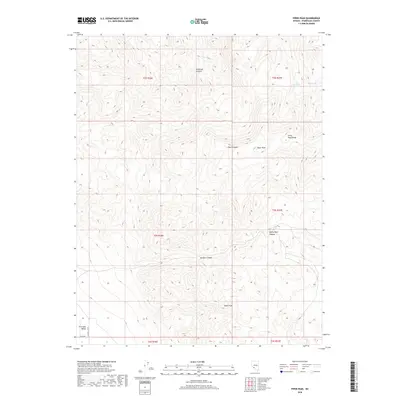
2018 Map of Piper Peak
USGS Topo · Published 2018About this map
Piper Peak dominates the high-elevation terrain of the Silver Peak Range in this Nevada survey. The landscape is defined by deep drainage systems including Icehouse Canyon to the north and the expansive White Wolf Canyon and McAfee Canyon to the south. These steep canyons provide a stark contrast to the edge of Fish Lake Valley visible in the southwest corner. Vital water sources are identified in the higher elevations, specifically at Jeff Davis Spring and Blind Spring, which were essential landmarks in this arid environment. Human activity is limited to the periphery, with Eagle Rd skirting the valley floor. The map provides a detailed view of the complex topography and sparse water network that historically dictated travel and survival in this portion of Esmeralda County.
Find a feature on this map
17 named features on this map. Tap any name to fly to it.
Don’t see what you’re looking for? This feature index may not catch every label — zoom into the map to look around manually.
Map Details
Editions of this 2018 Piper Peak Map
This is the sole edition of this map. No revisions or reprints were ever made.
Other maps of this area

1898 · Silver Peak
USGS Topo · 1:125,000

1900 · Silver Peak
USGS Topo · 1:125,000

1908 · Lida
USGS Topo · 1:250,000

1913 · Lida
USGS Topo · 1:250,000

1917 · White Mountain
USGS Topo · 1:125,000

1947 · Mariposa
USGS Topo · 1:250,000

1948 · Mariposa
USGS Topo · 1:250,000

1954 · Goldfield
USGS Topo · 1:250,000

1955 · Goldfield
USGS Topo · 1:250,000

1957 · Mariposa
USGS Topo · 1:250,000