
1963 Map of Pipestone Pass
USGS Topo · Published 1966About this map
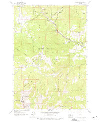
The Continental Divide winds through this high-altitude landscape of the Highland Mountains, marking the jagged watershed between the Deerlodge National Forest and surrounding valleys. This 1963 field survey documents the complex engineering required to traverse these peaks, most notably the Chicago Milwaukee St Paul and Pacific railroad line as it threads through tunnels and steep grades past Donald and the summit at Pipestone Pass.
Find a feature on this map
46 named features on this map. Tap any name to fly to it.
Don’t see what you’re looking for? This feature index may not catch every label — zoom into the map to look around manually.
Map Details
Editions of this 1963 Pipestone Pass Map
2 editions found
Other maps of this area

1893 · Dillon
USGS Topo · 1:250,000

1955 · Dillon
USGS Topo · 1:250,000

1957 · Dillon
USGS Topo · 1:250,000

1958 · Dillon
USGS Topo · 1:250,000

1960 · Twin Bridges
USGS Topo · 1:62,500

1961 · Wickiup Creek
USGS Topo · 1:24,000

1961 · Butte South
USGS Topo · 1:62,500

1962 · Dillon
USGS Topo · 1:250,000
1963 · Homestake
USGS Topo · 1:24,000
1963 · Grace
USGS Topo · 1:24,000