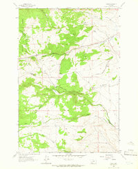
1963 Map of Grace
USGS Topo · Published 1966About this map
The Deerlodge National Forest dominates the western portion of this Montana landscape, where the high terrain of Toll Mountain overlooks the drainage basins of the Continental Divide. In the early 1960s, the Chicago Milwaukee St Paul and Pacific railroad established a vital transportation corridor through this territory, serving small stops like Grace and Cedric. The map reveals a transition from the forested heights into more arid basins, defined by the winding course of Little Pipestone Creek and the southern flow of Fish Creek. Industrial traces are scattered throughout the hills, including several marked Prospect sites and a Quarry, indicating mineral exploration typical of Jefferson and Silver Bow counties. Remote outposts like Nineteen Mile and water sources such as Poison Spring and Cold Spring provide critical landmarks for those navigating the rugged Rader Creek Road.
Find a feature on this map
27 named features on this map. Tap any name to fly to it.
Don’t see what you’re looking for? This feature index may not catch every label — zoom into the map to look around manually.
Map Details
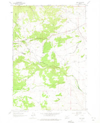
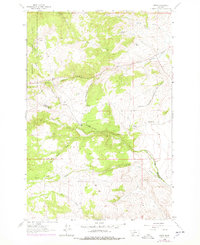
Editions of this 1963 Grace Map
3 editions found
Other maps of this area

1893 · Dillon
USGS Topo · 1:250,000

1955 · Dillon
USGS Topo · 1:250,000

1957 · Dillon
USGS Topo · 1:250,000

1958 · Dillon
USGS Topo · 1:250,000

1960 · Twin Bridges
USGS Topo · 1:62,500

1960 · Waterloo
USGS Topo · 1:62,500

1962 · Dillon
USGS Topo · 1:250,000
1963 · Dry Mountain
USGS Topo · 1:24,000

1963 · Pipestone Pass
USGS Topo · 1:24,000

1963 · Vendome
USGS Topo · 1:24,000