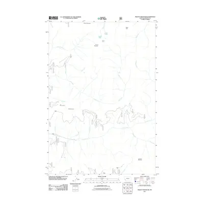
2011 Map of Piquett Mountain
USGS Topo · Published 2011About this map
Jew Mountain Mine sits on the western flank of Jew Mountain, marking a point of historic extraction in this high-elevation reach of Ravalli County. The landscape is defined by a succession of significant peaks, including Rombo Mountain, Wiles Peak, and the central Piquett Mountain. These summits overlook a complex drainage network where Overwhich Creek and Slate Creek carve through the terrain. High-altitude water bodies such as Shelf Lake, Piquett Lake, and Slate Lake are gathered near the northern ridgelines. A dense system of Forest Service roads, including 5706 and 5702, provides the primary access through the steep drainages of Antler Creek and Gentile Creek, illustrating the modern management of this backcountry area.
Find a feature on this map
46 named features on this map. Tap any name to fly to it.
Don’t see what you’re looking for? This feature index may not catch every label — zoom into the map to look around manually.
Map Details
Editions of this 2011 Piquett Mountain Map
This is the sole edition of this map. No revisions or reprints were ever made.
Other maps of this area

1956 · Elk City
USGS Topo · 1:250,000

1960 · Elk City
USGS Topo · 1:250,000

1960 · Painted Rocks Lake
USGS Topo · 1:62,500

1960 · Piquett Mountain
USGS Topo · 1:62,500

1964 · Boulder Peak
USGS Topo · 1:24,000

1964 · Piquett Creek
USGS Topo · 1:24,000

1965 · Medicine Hot Springs
USGS Topo · 1:24,000
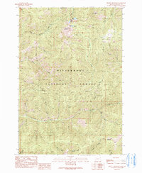
1991 · Piquett Mountain
USGS Topo · 1:24,000
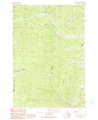
1991 · Henderson Ridge
USGS Topo · 1:24,000
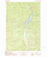
1991 · Painted Rocks Lake
USGS Topo · 1:24,000