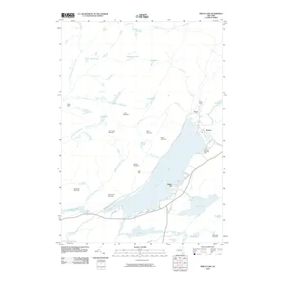
2010 Map of Piseco Lake
USGS Topo · Published 2010About this map
Piseco Lake serves as the central focal point of this Adirondack landscape, surrounded by a complex network of waterways and prominent peaks. The settlement of Piseco sits at the northern tip of the lake, supported by the Piseco Airport and the specialized Knox Bay Seaplane Base near Rudeston. The shoreline is dotted with small communities like Higgins Bay, which are connected by historic routes such as Old Piseco Rd and Powley Rd.
Find a feature on this map
54 named features on this map. Tap any name to fly to it.
Don’t see what you’re looking for? This feature index may not catch every label — zoom into the map to look around manually.
Map Details
Editions of this 2010 Piseco Lake Map
This is the sole edition of this map. No revisions or reprints were ever made.
Other maps of this area

1899 · Indian Lake
USGS Topo · 1:62,500

1900 · Canada Lake
USGS Topo · 1:62,500

1902 · Indian Lake
USGS Topo · 1:62,500

1903 · West Canada Lakes
USGS Topo · 1:62,500

1904 · Piseco Lake
USGS Topo · 1:62,500

1906 · Piseco Lake
USGS Topo · 1:62,500

1907 · Lake Pleasant
USGS Topo · 1:62,500

1908 · Piseco Lake
USGS Topo · 1:62,500

1950 · Utica
USGS Topo · 1:250,000

1954 · Lake Pleasant
USGS Topo · 1:62,500