
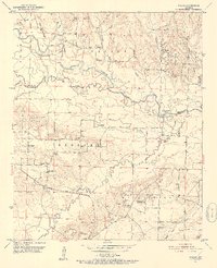
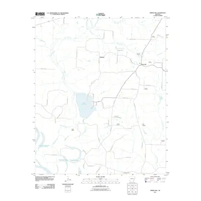
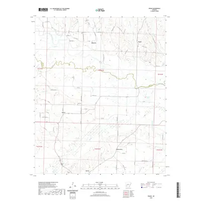
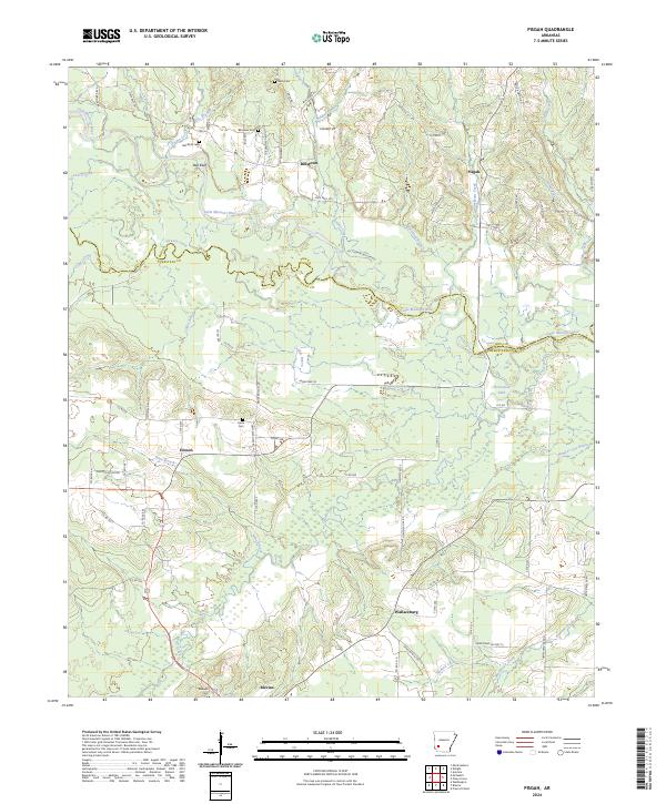
1951 Map of Pisgah
USGS Topo · Published 1975About this map
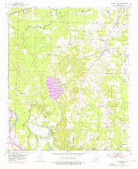
The Little Missouri River carves a winding path across this landscape, marking the boundary between Pike and Hempstead counties in the mid-twentieth century. This era finds a rural community defined by its watercourses and small-scale industry, with numerous Gravel Pits concentrated south of the Prescott and Northwestern railroad line. Settlement is dispersed across small hubs like Billstown and Pisgah, each serving as focal points for local families.
Find a feature on this map
42 named features on this map. Tap any name to fly to it.
Don’t see what you’re looking for? This feature index may not catch every label — zoom into the map to look around manually.
Map Details
Editions of this 1951 Pisgah Map
3 editions found
Historical Maps of Blevins Through Time
32 maps found
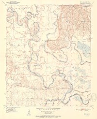
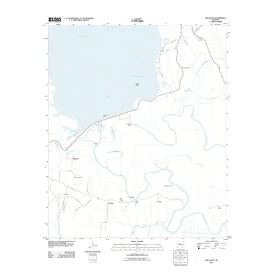
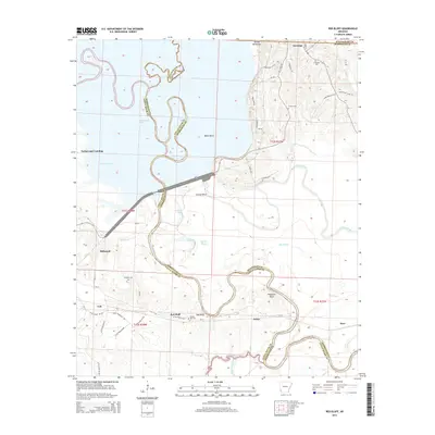
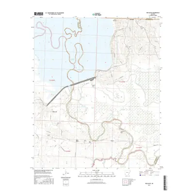
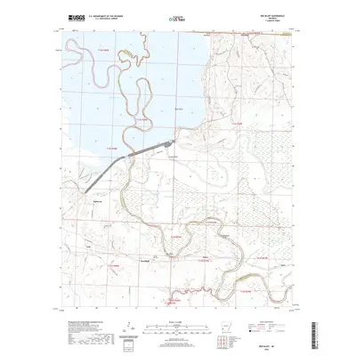
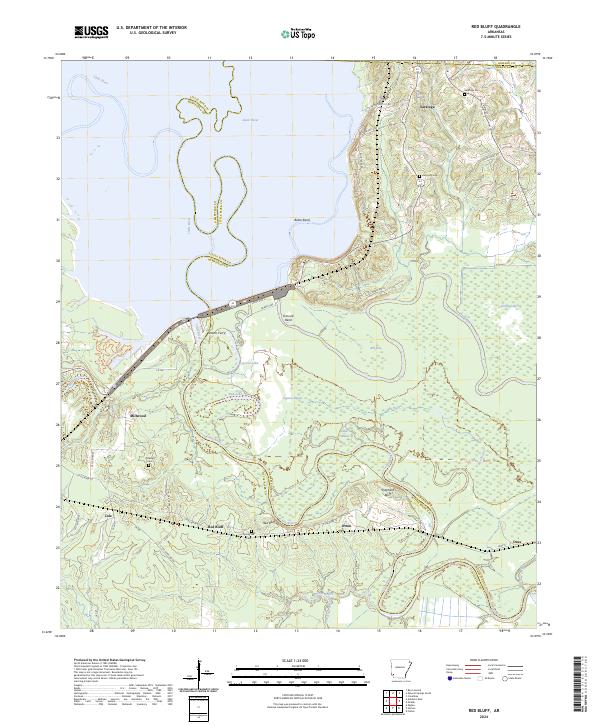
1950 Red Bluff
Hempstead County, AR
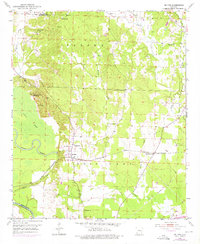
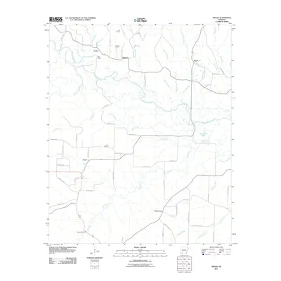
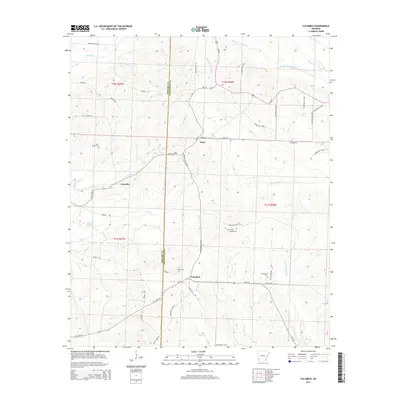
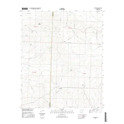
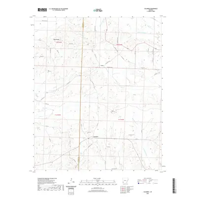
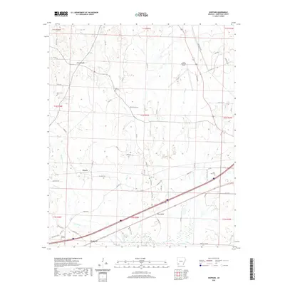
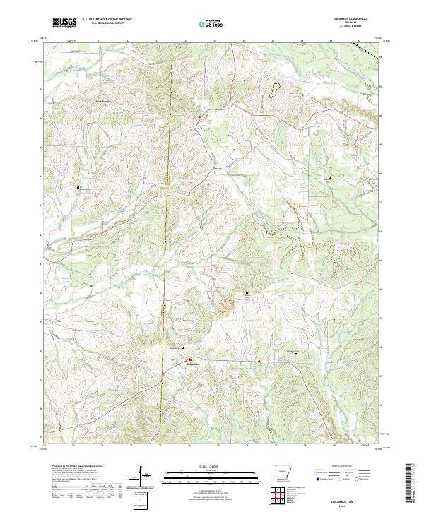
1951 Columbus
Hempstead County, AR
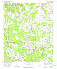
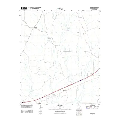
1951 Mc Nab
Hempstead County, AR
1951 Pisgah
Hempstead County, AR
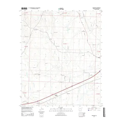
1951 Red Bluff
Hempstead County, AR
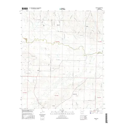
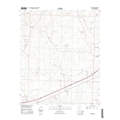
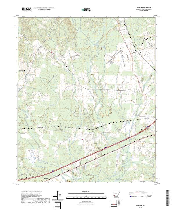
1951 Sheppard
Hempstead County, AR
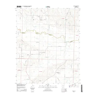
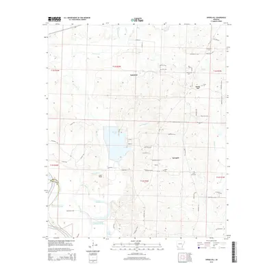
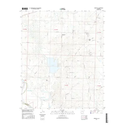
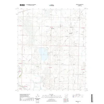
1951 Spring Hill
Hempstead County, AR
2011 Columbus
Hempstead County, AR
2011 Pisgah
Hempstead County, AR
2011 Red Bluff
Hempstead County, AR
2011 Sheppard
Hempstead County, AR
2011 Spring Hill
Hempstead County, AR
2014 Columbus
Hempstead County, AR
2014 Pisgah
Hempstead County, AR
2014 Red Bluff
Hempstead County, AR
2014 Sheppard
Hempstead County, AR
2014 Spring Hill
Hempstead County, AR
2017 Columbus
Hempstead County, AR
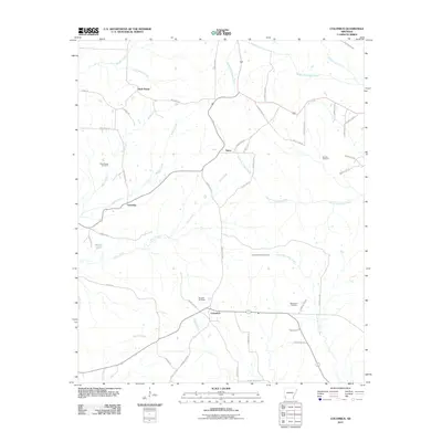
2017 Pisgah
Hempstead County, AR
2017 Red Bluff
Hempstead County, AR
2017 Sheppard
Hempstead County, AR
2017 Spring Hill
Hempstead County, AR
2020 Columbus
Hempstead County, AR
2020 Pisgah
Hempstead County, AR
2020 Red Bluff
Hempstead County, AR
2020 Sheppard
Hempstead County, AR
2020 Spring Hill
Hempstead County, AR
2024 Columbus
Hempstead County, AR
2024 Pisgah
Hempstead County, AR
2024 Red Bluff
Hempstead County, AR
2024 Sheppard
Hempstead County, AR
2024 Spring Hill
Hempstead County, AR