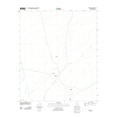
2011 Map of Pisinimo
USGS Topo · Published 2011About this map
Pisinemo and Peach Pu occupy a landscape defined by an intricate network of desert drainages in the Pisinemo District of Pima County. This 2011 survey illustrates the convergence of ephemeral watercourses like the Pisinimo Wash and San Simon Wash, which dictate the placement of local infrastructure and small communities. The map highlights the reliance on primitive road systems, including Indian Rte-21 and Indian Rt 132, which connect the primary settlement at Pisinemo to outlying areas such as Viason Chin and Hali Murk. The presence of Schuk Cowlik at the southwestern edge further emphasizes the dispersed settlement pattern characteristic of this part of the Tohono O'odham Nation. By documenting these specific place names and the intermittent flow of Gu Vo Wash and Hali Murk Wash, the sheet provides a detailed account of the human footprint within this arid environment.
Find a feature on this map
13 named features on this map. Tap any name to fly to it.
Don’t see what you’re looking for? This feature index may not catch every label — zoom into the map to look around manually.
Map Details
Editions of this 2011 Pisinimo Map
This is the sole edition of this map. No revisions or reprints were ever made.
Other maps of this area

1953 · Ajo
USGS Topo · 1:250,000

1954 · Sonoyta
USGS Topo · 1:250,000

1957 · Ajo
USGS Topo · 1:250,000

1958 · Ajo
USGS Topo · 1:250,000

1962 · Ajo
USGS Topo · 1:250,000

1963 · Ajo
USGS Topo · 1:250,000

1963 · Kom Vo
USGS Topo · 1:62,500

1963 · Gu Oidak
USGS Topo · 1:62,500

1963 · Quijotoa Mts
USGS Topo · 1:62,500

1963 · Pisinimo
USGS Topo · 1:62,500
Featured Places
- Peach Pu, Pisinemo District
- Pisinimo, Pisinemo District
- Pisinemo District, AZ
- Viason Chin, Pisinemo District
- Hali Murk, Pisinemo District