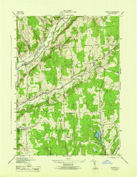
1944 Map of Pitcher
USGS Topo · Published 1944About this map
North Pitcher and Pitcher Springs anchor the northern reaches of this rural Chenango County landscape during the mid-1940s. The terrain is defined by a series of prominent rises including Pink Hill and Birdlebough Hill, with the Otselic River valley carving a path through the western section. This era shows a distributed network of local education, with numbering such as School No 1, School No 2, and School No 5 appearing across the townships of Pitcher, Pharsalia, and German.
Find a feature on this map
41 named features on this map. Tap any name to fly to it.
Don’t see what you’re looking for? This feature index may not catch every label — zoom into the map to look around manually.
Map Details
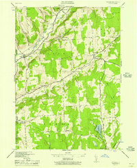
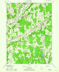
Editions of this 1944 Pitcher Map
3 editions found
Other maps of this area

1902 · Coventry
USGS Topo · 1:62,500

1903 · Norwich
USGS Topo · 1:62,500

1904 · Greene
USGS Topo · 1:62,500

1904 · Oxford
USGS Topo · 1:62,500

1904 · Pitcher
USGS Topo · 1:62,500

1943 · Otselic
USGS Topo · 1:24,000

1943 · South Ostelic
USGS Topo · 1:24,000

1943 · Cincinnatus
USGS Topo · 1:24,000

1943 · East Pharsalia
USGS Topo · 1:24,000

1943 · Cuyler
USGS Topo · 1:24,000