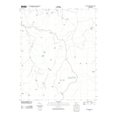
2010 Map of Pitcher Ridge
USGS Topo · Published 2010About this map
Pitcher Ridge and Bear Hollow Mountain dominate this landscape in Franklin County, characterized by a dense network of named coves and hollows. The terrain is marked by numerous family and community landmarks, such as Posey Field and Cooper Top, reflecting a long history of local land use. Water sources are abundant, with Hurricane Creek and Norwood Creek winding through the valleys, while Keith Spring and Salt City Spring provide focal points for historical activity.
Find a feature on this map
66 named features on this map. Tap any name to fly to it.
Don’t see what you’re looking for? This feature index may not catch every label — zoom into the map to look around manually.
Map Details
Editions of this 2010 Pitcher Ridge Map
This is the sole edition of this map. No revisions or reprints were ever made.
Other maps of this area

1886 · Stevenson
USGS Topo · 1:125,000

1888 · Scottsboro
USGS Topo · 1:125,000

1892 · Scottsboro
USGS Topo · 1:125,000

1892 · Stevenson
USGS Topo · 1:125,000

1895 · Stevenson
USGS Topo · 1:125,000

1895 · Sewanee
USGS Topo · 1:125,000

1928 · Decherd
USGS Topo · 1:62,500

1936 · Sewanee
USGS Topo · 1:24,000

1936 · Sinking Cove
USGS Topo · 1:24,000

1936 · Beans Creek
USGS Topo · 1:24,000