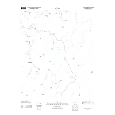
2013 Map of Pitcher Ridge
USGS Topo · Published 2013About this map
Keith Springs and Sal City anchor this rural Franklin County landscape, where the geography is defined by a complex network of coves and hollows. The settlement pattern follows the lower elevations of Cat Cove, Davis Cove, and Gray Cove, while prominent features like Pitcher Ridge and Bear Hollow Mountain divide the terrain. Transportation in this era relies on winding routes such as Keith Springs Mountain Rd and Holders Cemetery Rd, indicating the deep-rooted local history of these communities.
Find a feature on this map
84 named features on this map. Tap any name to fly to it.
Don’t see what you’re looking for? This feature index may not catch every label — zoom into the map to look around manually.
Map Details
Editions of this 2013 Pitcher Ridge Map
This is the sole edition of this map. No revisions or reprints were ever made.
Other maps of this area

1886 · Stevenson
USGS Topo · 1:125,000

1888 · Scottsboro
USGS Topo · 1:125,000

1892 · Scottsboro
USGS Topo · 1:125,000

1892 · Stevenson
USGS Topo · 1:125,000

1895 · Stevenson
USGS Topo · 1:125,000

1895 · Sewanee
USGS Topo · 1:125,000

1928 · Decherd
USGS Topo · 1:62,500

1936 · Sewanee
USGS Topo · 1:24,000

1936 · Sinking Cove
USGS Topo · 1:24,000

1936 · Beans Creek
USGS Topo · 1:24,000