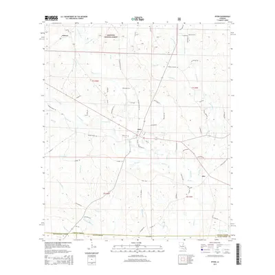
2015 Map of Pitkin
USGS Topo · Published 2015About this map
Pitkin serves as the central hub of this landscape, situated at the junction of several local routes such as Fullerton Blacktop Rd and Webster Maricle Rd. The area is defined by a dense network of watercourses, with Sixmile Creek and its many tributaries, including W Fork Sixmile Creek and E Fork Sixmile Creek, carving through the timberlands. Much of the northern half of the sheet is protected within the Kisatchie National Forest, while the southern reaches cross into Allen Parish and Beauregard Parish. Local history is anchored by Fullerton in the northwest and the small community of Dido to the southeast. Genealogists may find interest in the Mathis Cemetery, located just west of Pitkin, while the presence of named roads like Simmons Mill Rd and Jerry Nolen Rd suggests long-standing family ties and rural industries connected to the region's creek-fed geography.
Find a feature on this map
74 named features on this map. Tap any name to fly to it.
Don’t see what you’re looking for? This feature index may not catch every label — zoom into the map to look around manually.
Map Details
Editions of this 2015 Pitkin Map
This is the sole edition of this map. No revisions or reprints were ever made.
Other maps of this area

1941 · Slagle
USGS Topo · 1:62,500

1943 · Leander
USGS Topo · 1:62,500

1944 · Slagle
USGS Topo · 1:62,500

1947 · Steep Gully
USGS Topo · 1:31,680

1947 · Elizabeth
USGS Topo · 1:31,680

1947 · Grant
USGS Topo · 1:31,680

1947 · Sugartown
USGS Topo · 1:31,680

1947 · Sugrue
USGS Topo · 1:31,680

1947 · Pitkin
USGS Topo · 1:31,680

1948 · Grant
USGS Topo · 1:24,000