Loading...
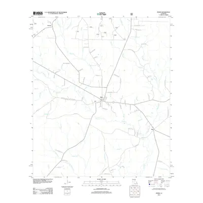
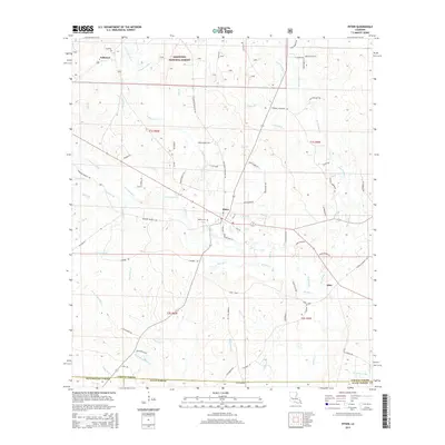
Loading map...2024 Map of Pitkin
USGS Topo · Published 2024About this map
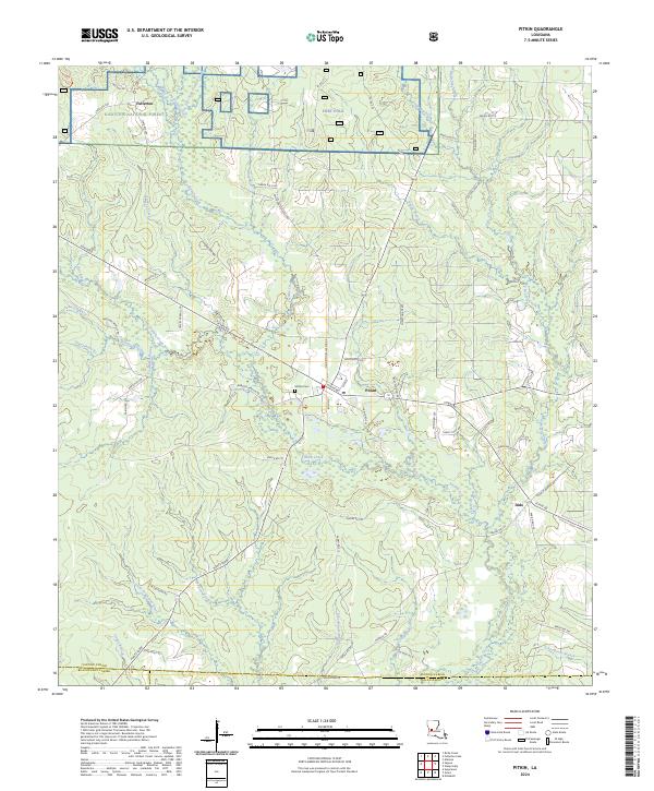
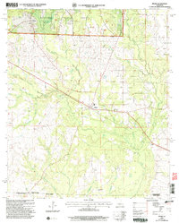
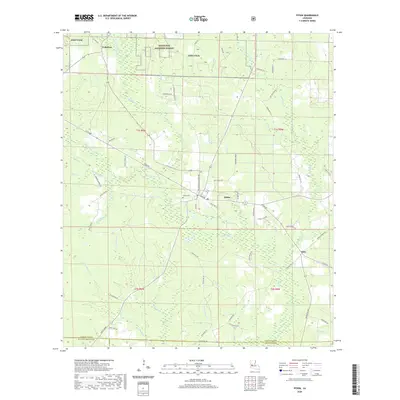
The northern pine woods of Vernon Parish define this landscape, where the Kisatchie National Forest and the southern edge of Fort Polk meet. The settlement of Pitkin serves as a central hub, connected by Pitkin Rd and Fullerton Blacktop Rd to the surrounding timberlands and family landmarks. To the northwest, the map documents the site of Fullerton, once a significant center for the region's early 20th-century logging industry.
Find a feature on this map
73 named features on this map. Tap any name to fly to it.
Don’t see what you’re looking for? This feature index may not catch every label — zoom into the map to look around manually.
Map Details
Date Portrayed2024
Date Published2024
PublisherU.S. Geological Survey
Map TypeTopographic
Scale1:24,000
Physical Dimensions24 x 29 inches
Editions of this 2024 Pitkin Map
This is the sole edition of this map. No revisions or reprints were ever made.
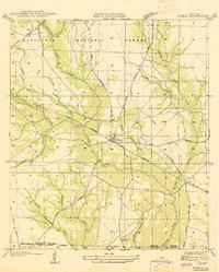
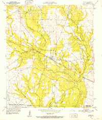
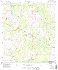
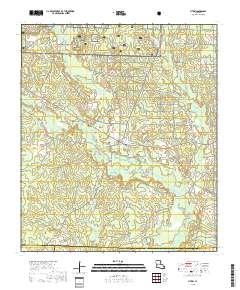
Historical Maps of Fullerton Through Time
9 maps found
Featured Locations
Source Details
SourceU.S. Geological Survey
CopyrightPublic Domain