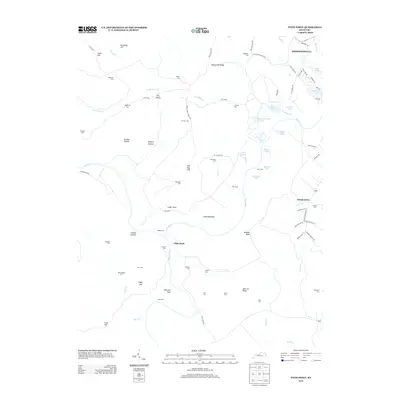
2013 Map of Pitts Point
USGS Topo · Published 2013About this map
Fort Knox military reservation dominates the central and northern sections of this landscape, where the Salt River and Rolling Fork converge near the historic settlement of Pitts Point. This area reflects a complex history of rural land use and subsequent federal acquisition, as evidenced by the high concentration of family-named landmarks and cemeteries now contained within the military boundary. Small family burial grounds like Troutman Cem, Snellen Cem, and Wooldridge Cem are scattered across the terrain, serving as vital markers for genealogists tracing the region's early residents.
Find a feature on this map
84 named features on this map. Tap any name to fly to it.
Don’t see what you’re looking for? This feature index may not catch every label — zoom into the map to look around manually.
Map Details
Editions of this 2013 Pitts Point Map
This is the sole edition of this map. No revisions or reprints were ever made.
Other maps of this area

1907 · Louisville
USGS Topo · 1:62,500

1909 · Kosmosdale
USGS Topo · 1:48,000

1912 · Kosmosdale
USGS Topo · 1:62,500

1936 · Vine Grove
USGS Topo · 1:62,500

1943 · Vine Grove
USGS Topo · 1:62,500

1946 · Pitts Point
USGS Topo · 1:24,000

1946 · Fort Knox
USGS Topo · 1:24,000

1946 · Colesburg
USGS Topo · 1:24,000

1946 · Vine Grove
USGS Topo · 1:24,000

1946 · Vine Grove
USGS Topo · 1:62,500